Hiking · Montrose, CO
Black Canyon of the Gunnison National Park Sign
Before you go
Live · nearest station Montrose, 11 miGood window today.
Cloudy
Feels like 62°
Trailhead temp
53° est. at 8,335 ft
Storm chance
26% tonight
Wind
5 mph SSE
Distance
—
Elevation gain
—
High point
8,335ft
Season
Jan - Dec
About
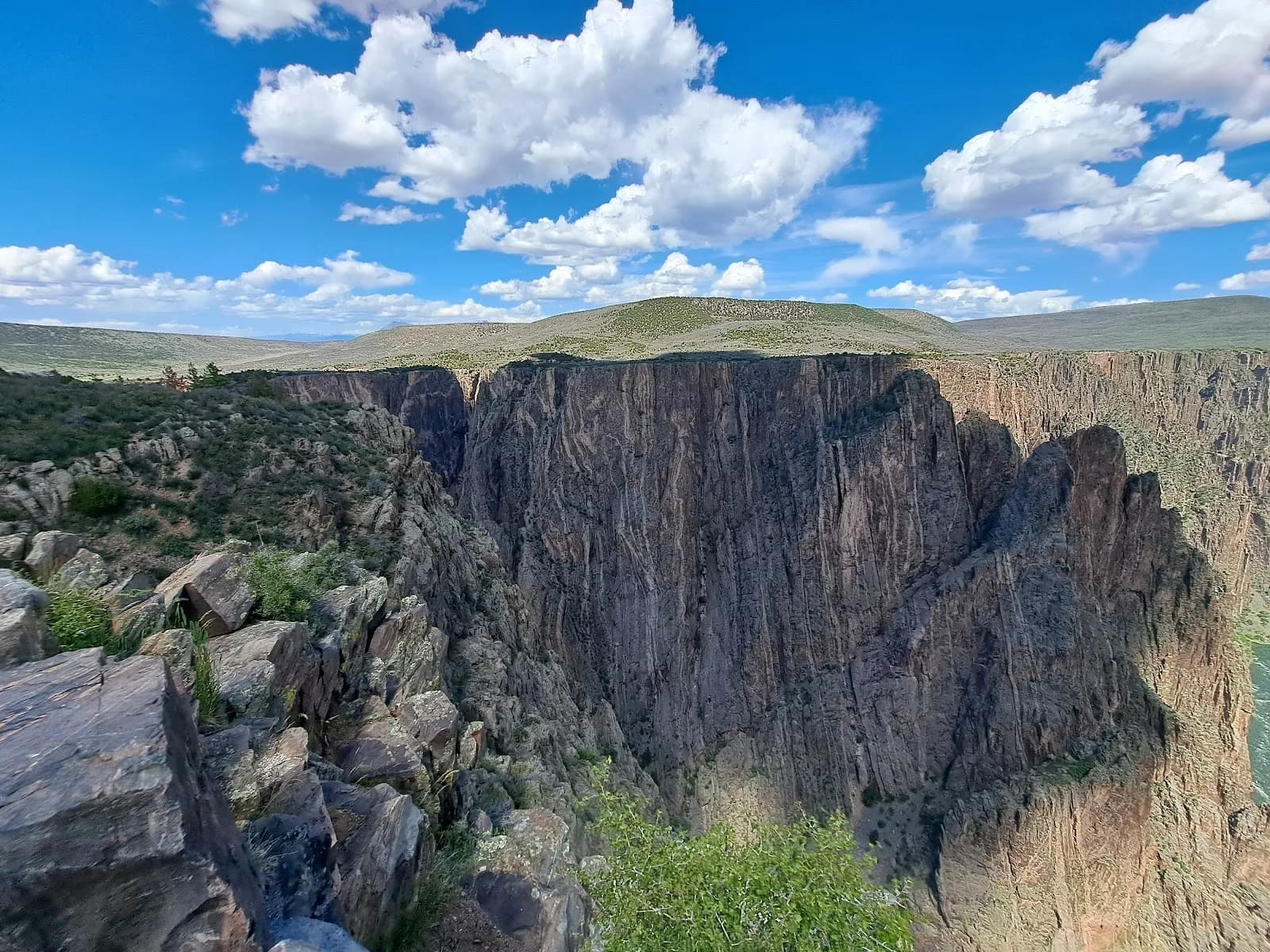
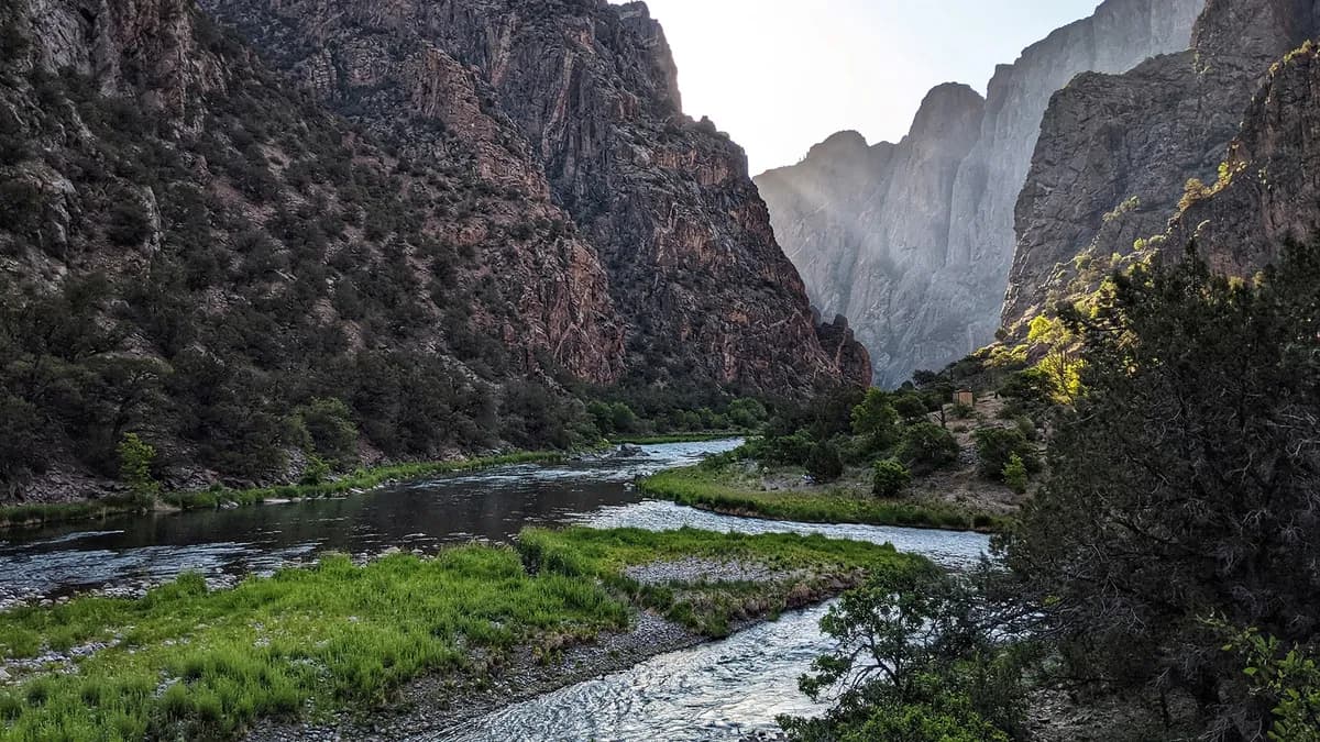
The Black Canyon of the Gunnison National Park Sign marks the entrance to a landscape defined by steep cliffs and the Gunnison River. Located near Montrose, the park offers hiking trails ranging from easy rim walks to more challenging descents. The Warner Point Trail is a 1.5-mile easy route starting from the High Point Trailhead, leading through junipers to overlooks of the canyon and distant San Juan Mountains. The Oak Flat Trail is a 1.6-mile loop near the South Rim Visitor Center, featuring schist formations and seasonal wildflowers. Hikers should note that drinking water is unavailable from late fall through mid-spring. Parking is available at trailheads, and pets are permitted. A 2025 wildfire affected the area, but trails remain open as of April 2026, though conditions vary. The terrain includes rocky paths, stairs, and steep drop-offs. Wildlife such as black bears, elk, and mule deer inhabit the area.
Trail profile
Gain
—
Avg grade
—
Steepest
—
High point
8,335 ft
Good to know
Parking at the trailhead
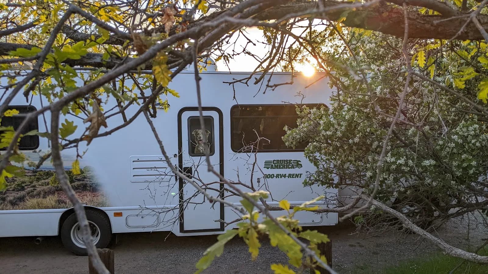
Dogs allowed on leash
Waypoints
No waypoints mapped for this trail yet.
What people say
Reviews
No reviews yet
Been here? Help the next person out.
Within 30 miles