Fall Hiking · Mesa, CO
Mesa Lakes Trailhead
Before you go
Live · nearest station Delta County, 25 miGood window today.
Cloudy
Feels like 64°
Trailhead temp
47° est. at 9,848 ft
Storm chance
17% tonight
Wind
5 mph SSE
Distance
—
Elevation gain
—
High point
9,848ft
Season
Sep - Novin season
About
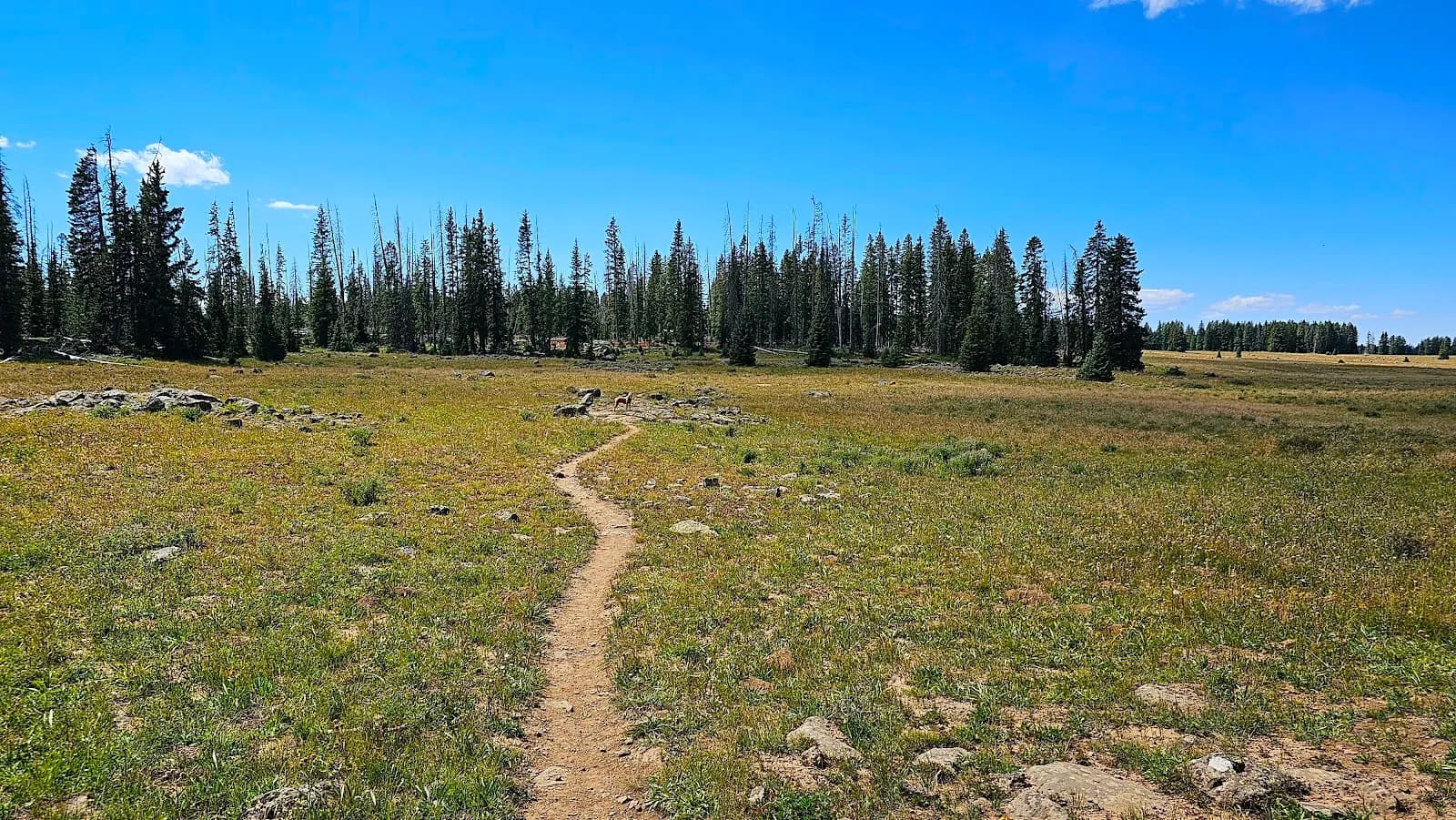
The Mesa Lakes Trailhead in Mesa, Colorado, serves as the access point for hiking and fishing in the Grand Mesa National Forest. The area features a system of eight stocked reservoirs, including Mesa Lake, South Mesa Lake, and Lost Lake. Hikers can traverse trails through shaded forest, passing these lakes before looping back. The trailhead is located near the Mesa Lakes Resort, accessible via CO-65. Parking is available in the day-use area for an $8.00 fee per vehicle, payable by cash or check. Restrooms and picnic tables are provided. The trail is rated moderate and typically takes about two hours to complete. Elevation reaches 9,848 feet. The area is open from September through November, offering fall foliage views. Pets are allowed. Wildlife such as deer, squirrels, and chipmunks are present. Note that the Critical Gold Mountain Fire may result in evacuation orders.
Trail profile
Gain
—
Avg grade
—
Steepest
—
High point
9,848 ft
Good to know
Parking at the trailhead
Restrooms available
Dogs allowed on leash
Waypoints
No waypoints mapped for this trail yet.
What people say
Reviews
No reviews yet
Been here? Help the next person out.
Within 30 miles