Hiking · Aspen, CO
Midnight Mine Road
Before you go
Live · nearest station Aspen, 0 miGood window today.
Thunderstorms
Feels like 53°
Storm chance
45% tonight
Wind
5 mph SSW
Distance
5.5mi round trip
Elevation gain
1,796ft
High point
9,706ft
Season
Jan - Dec
About
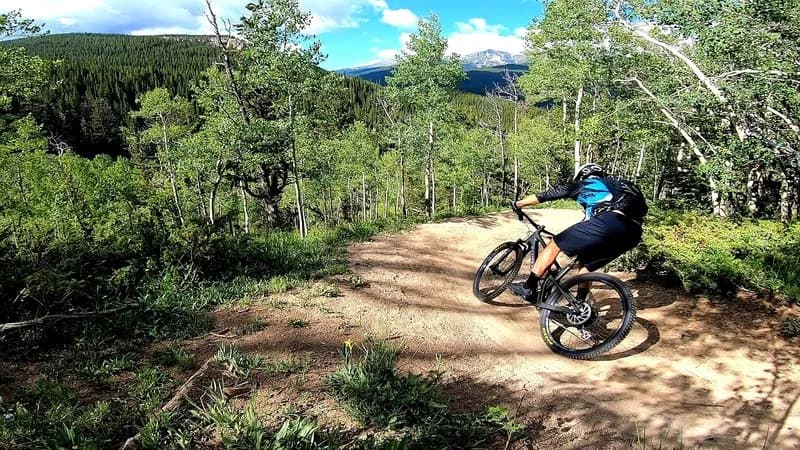
Midnight Mine Road (FSR #118) is a steep, 5.5-mile dirt road connecting Castle Creek Road to the Aspen Mountain Sundeck. It serves as a hiking, running, and mountain biking route, accessible year-round. The trail gains significant elevation, with sources citing ranges from 8,568 to 11,197 feet. The surface is primarily dark timber forest with sections of Aspen trees. The road features long, steep sections and tight turns with loose rocks, making descent challenging. Parking is available at the trailhead. The route is dog-friendly and allows mountain biking. In winter, the unplowed road is used for snowshoeing, classic cross-country skiing, and fat biking; it is not a groomed Nordic trail. Winter maintenance ends at Little Annie Road (3.7 miles) or the Sundeck (5.2 miles). The road is managed by White River National Forest and Pitkin County.
Trail profile
Gain
1,796 ft
Avg grade
6%
Steepest
14%
High point
9,706 ft
Good to know
Parking at the trailhead
Waypoints
Latest trail reportgood
Trail is in good condition. No significant obstacles or hazards reported.
Reported Mar 2, 2025Verified
What people say
Reviews
No reviews yet
Been here? Help the next person out.
Within 30 miles