Mountain Biking · Grand Junction, CO
Miramonte to Miramonte Rim
Before you go
Live · nearest station Grand Junction, 0 miGood window today.
Thunderstorms
Feels like 71°
Wind
5 mph SE
Distance
—
Elevation gain
—
High point
4,593ft
Season
Apr - Octpeak now
About
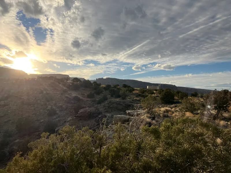
The Miramonte to Miramonte Rim route is a moderate mountain biking trail located in Grand Junction, Colorado, on the Western Slope. The trail spans approximately 3.7 miles (6.0 km) as a loop within the Lunch Loops trail network. Riders encounter a mix of singletrack and doubletrack terrain with steep inclines and technical features. The route is generally clear of snow from April through October, though it remains open year-round. Conditions are typically dry and rocky, particularly during peak summer months. Parking is available at the trailhead, which is situated near coordinates 39.0479, -108.59014. The trail is pet-friendly and popular for birding as well as biking. While the area has experienced critical fire evacuation orders in recent periods, the trail itself is accessible for riders. The elevation at the trailhead is 4,591 feet.
Trail profile
Gain
—
Avg grade
—
Steepest
—
High point
4,593 ft
Good to know
Parking at the trailhead
Dogs allowed on leash
Waypoints
Latest trail reportgood
Spring conditions. Trail may be muddy after recent rain. Check trail status before riding.
Reported Mar 2, 2025Verified
What people say
Reviews
No reviews yet
Been here? Help the next person out.
Within 30 miles
Nearby spots