Camping · Mesa Verde National Park, CO
Morefield Campground
Before you go
Live · nearest station Durango, 30 miStorms build later today. Plan an early finish.
Thunderstorms
Feels like 59°
Storm chance
57% tonight
Wind
5 mph NE
Distance
—
Elevation gain
—
High point
7,834ft
Season
May - Sepin season
About
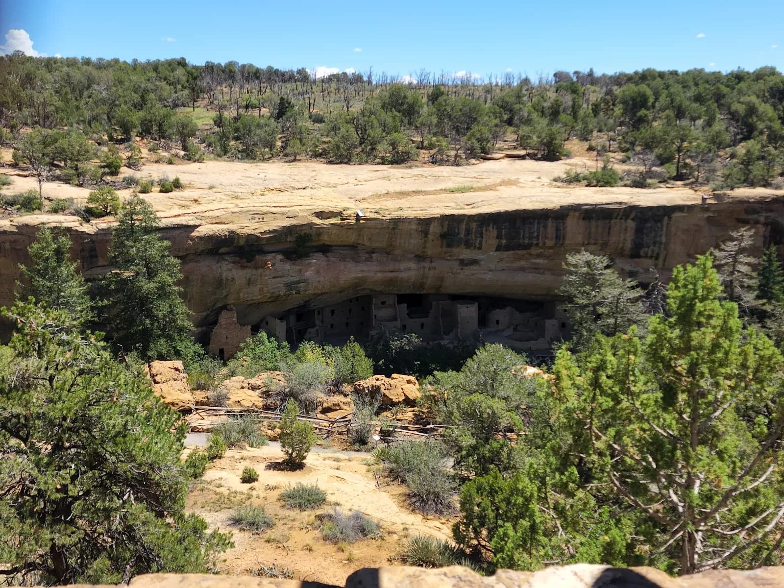
Morefield Campground is the primary camping area within Mesa Verde National Park, located four miles from the park entrance. It serves as a convenient base for accessing the park’s cliff dwellings and archaeological sites, which are situated deeper inside the park. The campground sits at an elevation of 7,834 feet in a high-elevation, grassy canyon characterized by Gambel oak, native flowers, deer, and wild turkeys. The facility offers 267 campsites, including dry tent and RV sites, 15 full-hookup RV sites with water, electric, and sewer, and 17 group sites for up to 25 guests. Each campsite is equipped with a picnic table, a gravel tent pad, and a fire pit or barbecue grill. Essential amenities include a camp store for registration, food, and supplies; a dump station; coin-operated showers; and a laundromat. Potable water is available near the campsites. The campground is pet-friendly, though a kennel is also available. Morefield Campground typically operates from late April through mid-October, with specific dates varying slightly by year (e.g., May through September in some contexts, or April 24 to October 18). Access is via paved roads with parking available. The difficulty is considered moderate due to the elevation and terrain. While the database lists the typical duration as about 2 hours, this likely refers to the drive or a specific trail context, whereas the campground itself is a multi-day stay destination. Overnight camping is limited to 14 consecutive nights and 14 total nights in a calendar year. RVs must be 46 feet or shorter. The area is cash-free, accepting major credit and debit cards.
Trail profile
Gain
—
Avg grade
—
Steepest
—
High point
7,834 ft
Good to know
Parking at the trailhead
Restrooms available
Dogs allowed on leash
Waypoints
No waypoints mapped for this trail yet.
What people say
Reviews
No reviews yet
Been here? Help the next person out.
Within 30 miles
Nearby spots
Mesa Verde Visitor & Research Center
Bright Star Campground