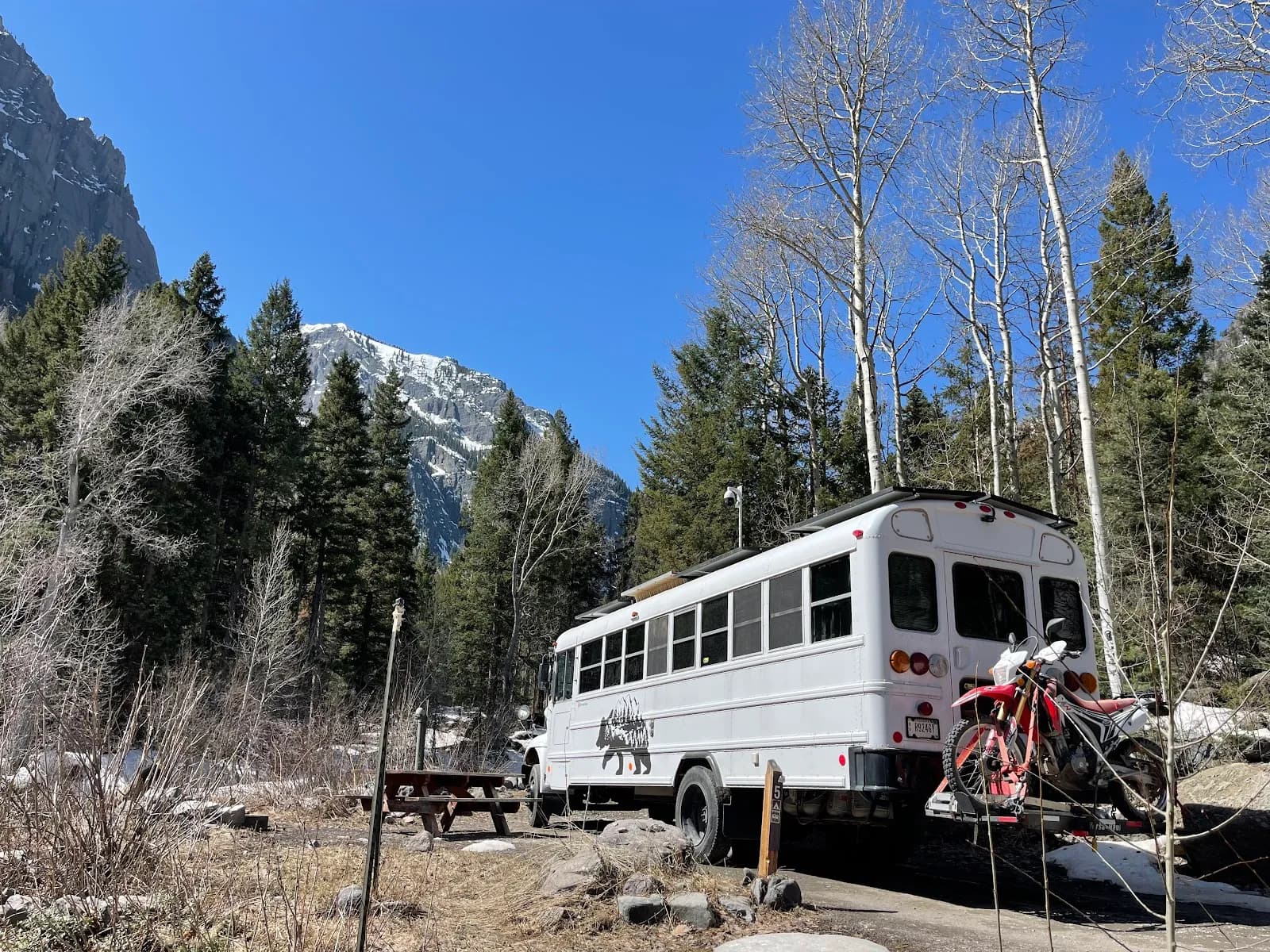
Hiking · Ouray, CO
Mt. Sneffels Trail
Before you go
Live · nearest station Telluride, 7 miStorms build later today. Plan an early finish.
Chance of Rain
Feels like 44°
Storm chance
50% tonight
Wind
5 mph ESE
Distance
0.68mi round trip
Elevation gain
148ft
High point
9,495ft
Season
Jan - Dec
About
The Mt. Sneffels Trail leads to the 14,158-foot summit of Mount Sneffels, the highest point in Ouray County and a prominent peak in the Sneffels Range. Located west of Ouray in Yankee Boy Basin, the trail offers access to a classic Colorado fourteener. The route is generally considered difficult due to steep inclines, loose scree, and potential falling rocks. Hikers typically choose between a technical scramble up the solid rock of the southwest ridge (Class 3) or a less technical but strenuous ascent via gullies like Lavender Couloir and the South Slopes. The trailhead is accessible via CR361, a dirt road requiring 2WD for the upper section, though 4WD is needed to reach lower trailheads. Parking is available at the upper trailhead near 12,400 feet. The hike is accessible year-round, though conditions vary significantly. Dogs are permitted but should be leashed, and the semi-technical ridge may be challenging for them. Hikers should bring food, water, and protection from sun and rain, as weather can change rapidly near the summit.
Trail profile
Gain
148 ft
Avg grade
4%
Steepest
4%
High point
9,495 ft
Good to know
Parking at the trailhead
Waypoints
Latest trail reportgood
Trail is in good condition. No significant obstacles or hazards reported.
Reported Mar 2, 2025Verified
What people say
Reviews
No reviews yet
Been here? Help the next person out.
Within 30 miles