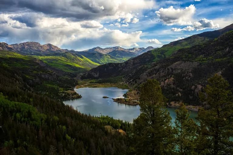
Fall Hiking · Lake City, CO
Nellie Creek Trailhead
Before you go
Live · nearest station Telluride, 23 miStorms are likely above treeline tonight. Start early and be off the ridge by midday.
Chance of Rain
Feels like 45°
Trailhead temp
38° est. at 11,448 ft
Storm chance
50% tonight
Wind
5 mph ESE
Distance
—
Elevation gain
—
High point
11,448ft
Season
Sep - Novin season
About
The Nellie Creek Trailhead in Lake City, Colorado, serves as the access point for a moderate hike to Nellie Creek Falls. Located along County Road 23 off the Alpine Loop Scenic Byway, the trail is approximately 0.8 miles one way to a two-tiered waterfall surrounded by aspens. The route is generally considered moderately challenging, with an average completion time of about one hour and three minutes. Hikers can reach the falls by hiking along the narrow road or using a high-clearance 4WD vehicle. Parking is available in small lots or pull-outs near the trailhead, and pets are permitted. The area offers views of Uncompahgre Peak and includes two creek crossings if continuing past the falls. The trail is accessible from September through November, with fall foliage providing scenic value.
Trail profile
Gain
—
Avg grade
—
Steepest
—
High point
11,448 ft
Good to know
Parking at the trailhead
Restrooms available
Dogs allowed on leash
Waypoints
No waypoints mapped for this trail yet.
What people say
Reviews
No reviews yet
Been here? Help the next person out.
Within 30 miles