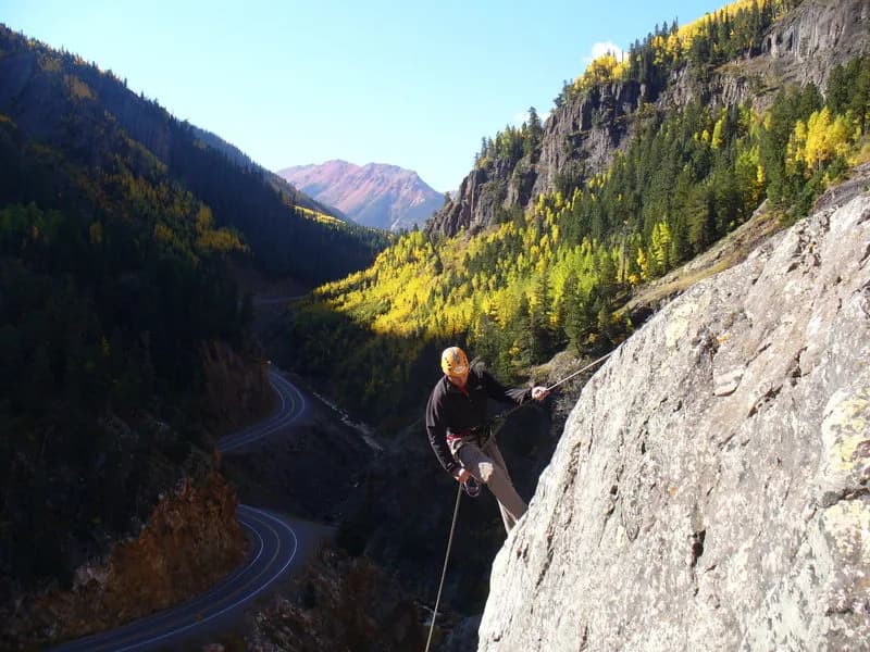
Fall Hiking · Lake City, CO
Wetterhorn Basin Trailhead
Before you go
Live · nearest station Telluride, 19 miStorms build later today. Plan an early finish.
Chance of Rain
Feels like 44°
Trailhead temp
41° est. at 10,305 ft
Storm chance
58% tonight
Wind
5 mph ESE
Distance
—
Elevation gain
—
High point
10,305ft
Season
Sep - Novin season
About
The Wetterhorn Basin Trailhead serves as the primary access point for the Wetterhorn Peak approach in the San Juan Mountains near Lake City, Colorado. The trail is an out-and-back route covering approximately 8 miles with 2,200 feet of elevation gain, reaching a high point of 12,500 feet. It is rated as a hard hike due to distance and altitude, typically taking about 6 hours to complete. The trail offers views of Wetterhorn Peak (14,015 ft), Coxcomb Peak, and Cow Creek. It is open to hiking and horseback riding. The trailhead is accessible via a road that does not strictly require four-wheel drive, though it is recommended. Parking is available. Pets are allowed. The best seasons for hiking are summer and fall, specifically September through November. Hikers should be prepared for afternoon thunderstorms and variable weather conditions.
Trail profile
Gain
—
Avg grade
—
Steepest
—
High point
10,305 ft
Good to know
Parking at the trailhead
Restrooms available
Dogs allowed on leash
Waypoints
No waypoints mapped for this trail yet.
What people say
Reviews
No reviews yet
Been here? Help the next person out.
Within 30 miles
Nearby spots
Lou Creek Trail