Hiking · Grand Junction, CO
Ottos Bathtub
Before you go
Live · nearest station Grand Junction, 3 miGood window today.
Mostly Cloudy
Feels like 69°
Storm chance
5% tonight
Wind
5 mph SE
Gunnison River near Grand Junction is running 1,160 cfs, water 65°.
Distance
8.51mi round trip
Elevation gain
1,384ft
High point
5,984ft
Season
Jan - Dec
About
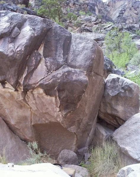
Otto's Bathtub is an 8.5-mile out-and-back hike located in Colorado National Monument near Grand Junction. The route begins at the Upper Liberty Cap trailhead on Rimrock Drive and follows an old road grade along the plateau before descending to a geologic feature in the Entrada sandstone cliffs. The trail is generally considered moderate difficulty, with an elevation gain of approximately 1,994 feet. The total distance includes the trek to the turnoff and the short spur to the bathtub itself. The turnoff occurs around 3.3 miles from the trailhead, marked by a cairn on the north side. The feature itself is a basin where John Otto reportedly added a dam to collect water. Hikers can access the basin via eroded chopped steps or the surrounding slickrock. The trail is accessible year-round, though the soil can become muddy and slick after rain. Parking is available at the trailhead. Dogs are not permitted on this trail.
Trail profile
Gain
1,384 ft
Avg grade
3%
Steepest
9%
High point
5,984 ft
Good to know
Parking at the trailhead
Waypoints
Latest trail reportgood
Trail is in good condition. No significant obstacles or hazards reported.
Reported Mar 2, 2025Verified
What people say
Reviews
No reviews yet
Been here? Help the next person out.
Within 30 miles