Hiking · Grand Junction, CO
Tabeguache Trail - Grand Valley Section
Before you go
Live · nearest station Grand Junction, 3 miGood window today.
Mostly Cloudy
Feels like 62°
Storm chance
2% tonight
Wind
0 mph
Gunnison River near Grand Junction is running 1,170 cfs and falling, water 64°.
Distance
23.1mi round trip
Elevation gain
2,581ft
High point
7,261ft
Season
Jan - Dec
About
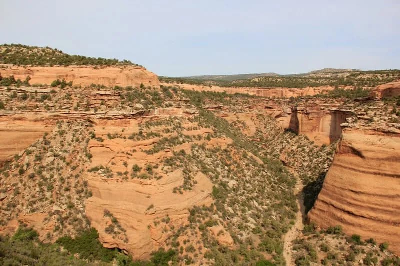
The Tabeguache Trail’s Grand Valley Section is a 23.1-mile hiking route in Grand Junction, Colorado, connecting Highway 141 to Monument Road near Clifton. Classified as difficult, the trail climbs out of East Creek Canyon, traverses the Uncompahgre Plateau, and ends in No Thoroughfare Canyon. The route features significant elevation gain, including a local climb known as 'No Mas Hill,' and passes through Bangs Canyon, Pinyon Mesa, and Rough Canyon. Key landmarks include a spring and stock tank at mile 12.9, a crossing of a dry creek bed at mile 15, and the Little Park Road at mile 17.3. The final approach involves a left turn onto a well-marked singletrack at mile 20.3, traversing the Lunch Loops trail system before reaching the trailhead on Monument Road. The trail is marked by brown fiberglass posts approximately every mile. Water is not readily available along the route, requiring hikers to carry plenty. The area is remote, administered by the U.S. Forest Service and BLM, and is a renowned hunting area; hikers should wear orange during hunting season. High-clearance -wheel drive vehicles can access most sections, though singletrack segments remain. Parking is available at the trailhead.
Trail profile
Gain
2,581 ft
Avg grade
2%
Steepest
6%
High point
7,261 ft
Good to know
Parking at the trailhead
Waypoints
Latest trail reportgood
Trail is in good condition. No significant obstacles or hazards reported.
Reported Mar 2, 2025Verified
What people say
Reviews
No reviews yet
Been here? Help the next person out.
Within 30 miles