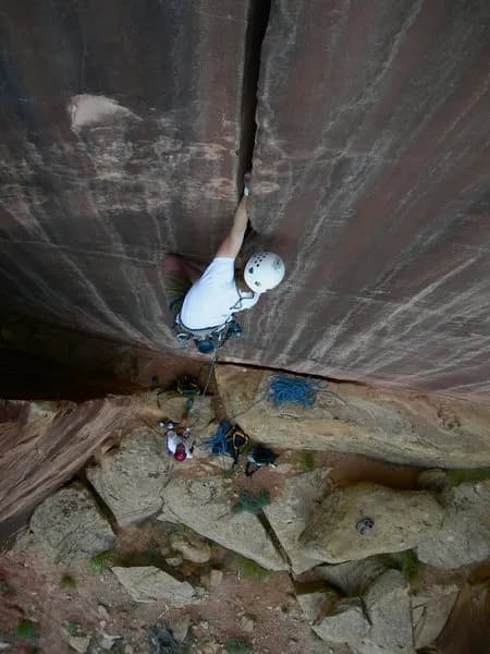
Rock Climbing · Grand Junction, CO
Otto's Route
Before you go
Live · nearest station Grand Junction, 4 miGood window today.
Mostly Cloudy
Feels like 65°
Storm chance
2% tonight
Wind
0 mph
Distance
—
Elevation gain
10ft
High point
4,764ft
Season
Jan - Dec
About
Otto's Route is a moderate multi-pitch sandstone climb on Independence Monument in Colorado National Monument, near Grand Junction. The route consists of four pitches totaling approximately 5.8+ difficulty, characterized by chopped steps and drilled holes left from the first ascent by John Otto in 1911. The climb is situated on the shady side of the monument, making warm days preferable. The final pitch involves an exposed prow leading to the summit. Access requires hiking to the base of Independence Monument, with parking available nearby. The route is suitable for intermediate climbers seeking a classic desert tower experience. Typical duration is around 7 to 8 hours. Pets are permitted. The area is accessible year-round, though winter conditions may require additional preparation.
Trail profile
Gain
10 ft
Avg grade
—
Steepest
—
High point
4,764 ft
Good to know
Parking at the trailhead
Dogs allowed on leash
Waypoints
Latest trail reportgood
Spring climbing conditions. Route may be wet after rainfall. Check weather forecast before climbing.
Reported Mar 3, 2025Verified
What people say
Reviews
No reviews yet
Been here? Help the next person out.
Within 30 miles
Nearby spots
Things Fall Apart
Mica Mine up Ladder Canyon Out and Back