Hiking · Mesa, CO
Otto's Trail
Before you go
Live · nearest station Grand Junction, 10 miGood window today.
Mostly Cloudy
Feels like 66°
Trailhead temp
62° est. at 5,824 ft
Storm chance
5% tonight
Wind
5 mph E
Distance
0.4mi round trip
Elevation gain
—
High point
5,824ft
Season
Jan - Dec
About
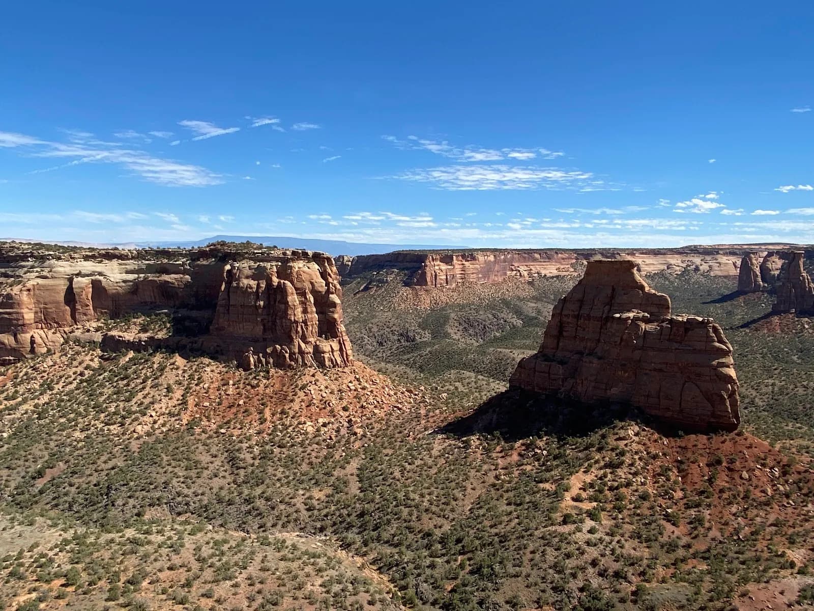
Otto's Trail is a short, out-and-back hiking route located within Colorado National Monument near Grand Junction, Mesa County. The trail begins at the Otto's Trail Roadside Parking Area on Rim Rock Drive and heads northeast toward a canyon overlook. The route spans approximately 0.4 to 0.5 miles with an elevation range between 5,600 and 5,824 feet. Hikers traverse a mesa-top through scrubby Utah juniper and pinyon pine woodlands before descending to a fenced overlook. The trail features a gentle slope, making it accessible for most fitness levels, though some sources classify it as easy and others as moderate. The primary feature is the view of Monument Canyon's red rock formations, specifically Independence Monument, Pipe Organ, Sentinel Spire, and Window Rock. The typical duration for the hike is between 30 minutes and 2 hours, depending on time spent at the overlook. Parking is available directly at the trailhead. The trail is open year-round and permits dogs, though horses are generally prohibited on this specific path.
Trail profile
Gain
—
Avg grade
—
Steepest
—
High point
5,824 ft
Good to know
Parking at the trailhead
Dogs allowed on leash
Waypoints
Latest trail reportgood
Trail is in good condition. No significant obstacles or hazards reported.
Reported Mar 2, 2025Verified
What people say
Reviews
No reviews yet
Been here? Help the next person out.
Within 30 miles