Hiking · Palisade, CO
Palisade Rim Trail
Before you go
Live · nearest station Grand Junction, 10 miGood window today.
Thunderstorms
Feels like 76°
Trailhead temp
71° est. at 6,042 ft
Storm chance
18% afternoon
Wind
5 mph WSW
Colorado River near Cameo is running 1,470 cfs, water 66°.
Distance
8.8mi round trip
Elevation gain
1,745ft
High point
6,430ft
Season
Jan - Dec
About
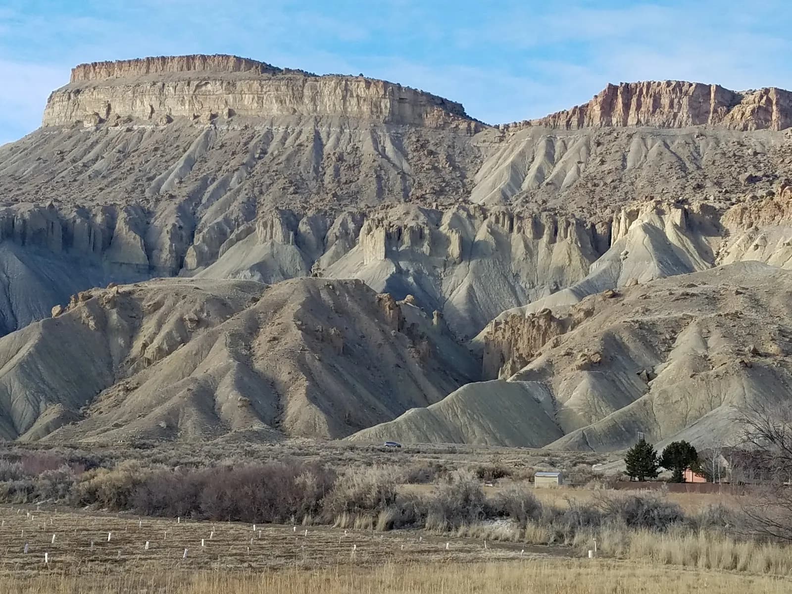
The Palisade Rim Trail is a rugged, multi-use hiking and biking route located on the southern rim of Palisade, Colorado. The trail offers significant exposure along cliff edges, with terrain characterized by rocky shale, slickrock, and technical singletrack. It is widely considered difficult due to steep inclines, switchbacks, and proximity to drop-offs. The trail system includes a lower loop, approximately 4 miles long, which provides views of orchards and vineyards from about 1,000 feet above the valley floor. The full loop extends to roughly 8.8 to 13 miles, with elevation ranging from approximately 4,700 to 6,042 feet. Key features include visible petroglyphs and diverse wildlife such as lizards, rabbits, and golden eagles. The trail is managed by the BLM Grand Junction Field Office and allows dogs. Parking is available at the boat launch on Highway 6; hikers should head south along the road to locate the trailhead gate. The trail is accessible year-round but is best avoided after rain, particularly the upper sections, due to slick conditions.
Trail profile
Gain
1,745 ft
Avg grade
4%
Steepest
11%
High point
6,430 ft
Good to know
Parking at the trailhead
Waypoints
Latest trail reportgood
Trail is in good condition. No significant obstacles or hazards reported.
Reported Mar 2, 2025Verified
What people say
Reviews
No reviews yet
Been here? Help the next person out.
Within 30 miles
Nearby spots
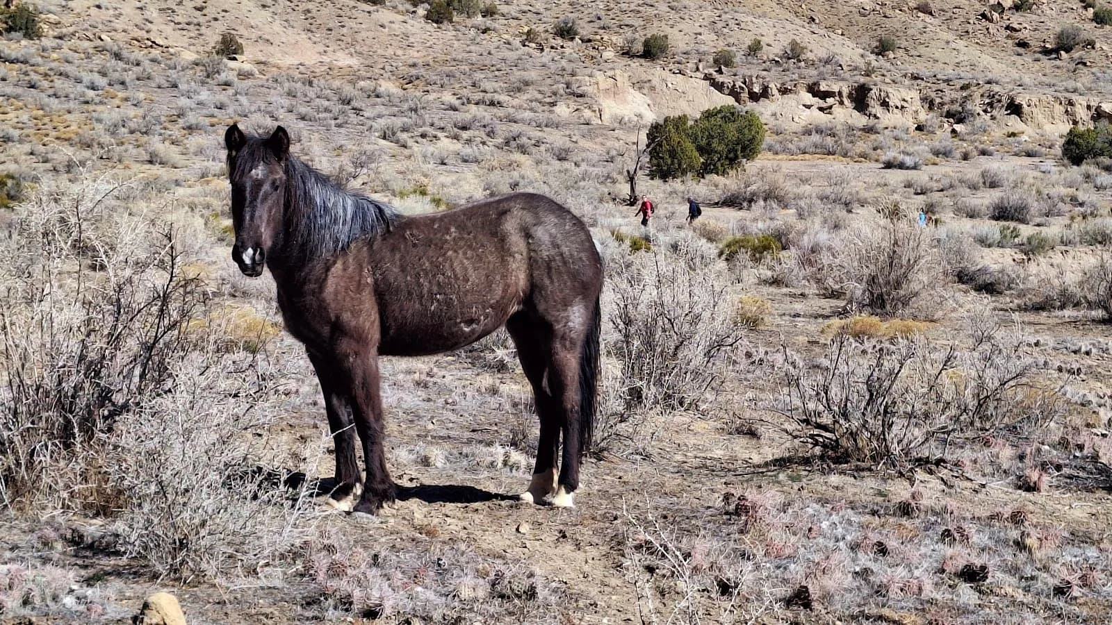
Little Book Cliffs Wild Horse Range
Tom Thumbs Tallywag