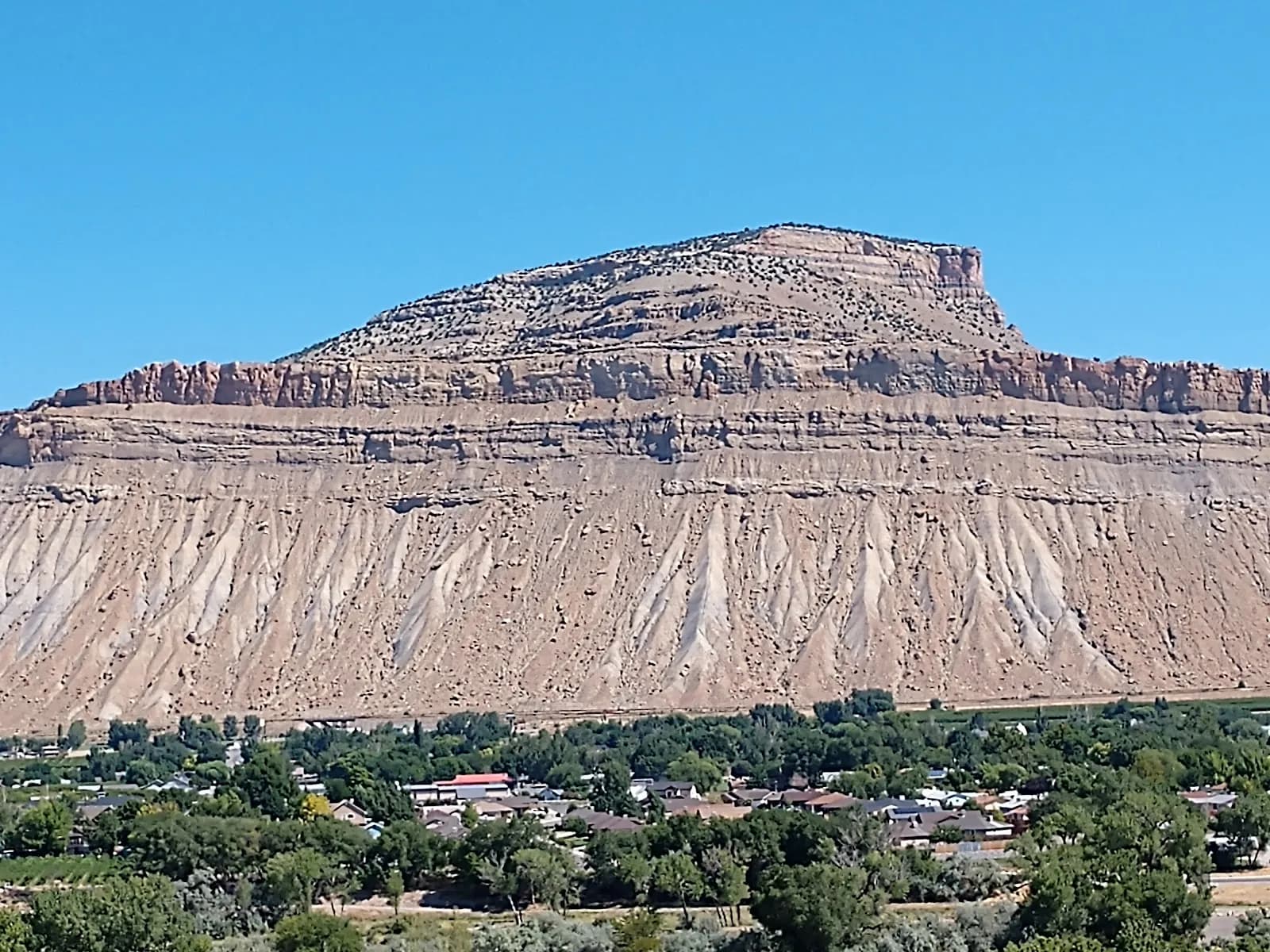
Rock Climbing · Palisade, CO
Pantina Cantina
Before you go
Live · nearest station Grand Junction, 10 miGood window today.
Mostly Cloudy
Feels like 66°
Storm chance
5% tonight
Wind
5 mph E
Gunnison River near Grand Junction is running 1,160 cfs, water 65°.
Distance
—
Elevation gain
—
High point
4,708ft
Season
Jan - Dec
About
Pantina Cantina is a 60-foot sport and top-rope climbing route located on Palisade Mountain near Palisade, Colorado. The route sits at an elevation of 4,708 feet and is rated moderate difficulty, typically around a 5.8 grade. Climbers start past two bolts in the scooped, dark-plated section known as the pantina. The crux involves transitioning from the face to the upper slab, with some loose rock in the initial scooped section. The climbing above the crux is easy slab work. A large boulder to the left of the anchor presents a fall hazard and may detach. Protection consists of two bolts and a shared two-bolt anchor at the top. The route was first ascended by Al Simons. Access to Pantina Cantina is currently open, having reopened in 2023 following the Cameron Peak Fire. The area was previously closed due to dead trees on Storm Mountain Road, but access via Devil's Gulch Road is established. There is no signage on-site or on USFS maps indicating the closure, so climbers should verify current status. Parking is available near the climbing area. The site allows pets. Palisade offers dining options such as Fidel's Cocina and El Rey Mexican food LLC, providing local sustenance after climbing. The climate supports year-round access from January to December. While specific weather constraints like rain sensitivity are noted for other nearby routes, Pantina Cantina's primary consideration is the loose rock and potential anchor boulder. The route duration is short, allowing for multiple attempts or quick visits.
Trail profile
Gain
—
Avg grade
—
Steepest
—
High point
4,708 ft
Good to know
Parking at the trailhead
Dogs allowed on leash
Waypoints
Latest trail reportgood
Spring climbing conditions. Route may be wet after rainfall. Check weather forecast before climbing.
Reported Mar 3, 2025Verified
What people say
Reviews
No reviews yet
Been here? Help the next person out.
Within 30 miles
Nearby spots
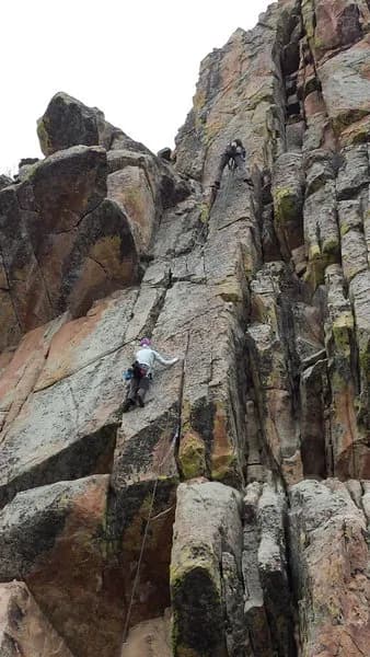
Sea Biscuit
Sprigs & Sprouts of Western Colorado