Fall Hiking · Somerset, CO
Paonia State Park
Before you go
Live · nearest station Aspen, 32 miGood window today. Daylight to 7:04 pm.
Thunderstorms
Feels like 53°
Trailhead temp
59° est. at 6,100 ft
Storm chance
45% tonight
Wind
5 mph SSW
UV index
0 low
Sun window
6:58 am to 7:04 pm
Distance
2.5mi round trip
Elevation gain
—
High point
6,100ft
Season
Sep - Novin season
About
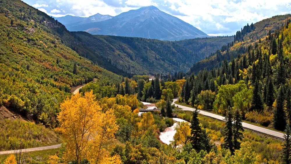
Paonia State Park, located in Somerset on the Western Slope, offers a moderate 2.5-mile hiking trail at an elevation of approximately 6,100 to 6,500 feet. The trail typically takes about two hours to complete and is accessible from September through November, aligning with the fall season. The park sits in the shadow of the Ragged Mountains and features a 334-acre reservoir. Hikers traverse mixed conifer and aspen forests, with Gambel oak shrublands also present. Wildlife sightings are common, including mule deer, elk, raptors, waterfowl, and shorebirds. Other mammals such as cottontail rabbits, marmots, raccoons, skunks, coyotes, and ground squirrels inhabit the area. Parking is available, and restrooms are provided for visitors. The trails are pet-friendly, though dogs should be kept on leashes during hunting season to ensure visibility and safety. The terrain is varied, with some changing conditions expected in the fall. While specific hiking trails within the park boundaries are noted as limited or non-existent by some sources, nearby trail systems in the Raggeds Wilderness Area are accessible during summer months and remain relevant for fall visitors. The location serves as a popular spot for camping, picnicking, and outdoor photography due to its alpine views and clear waters.
Trail profile
Gain
—
Avg grade
—
Steepest
—
High point
6,100 ft
Good to know
Parking at the trailhead
Restrooms available
Dogs allowed on leash
Waypoints
No waypoints mapped for this trail yet.
What people say
Reviews
No reviews yet
Been here? Help the next person out.
Within 30 miles
Nearby spots
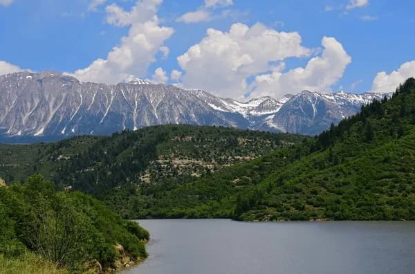
Paonia Reservoir