Fall Hiking · Somerset, CO
Ruby Anthracite Trailhead
Before you go
Live · nearest station Aspen, 29 miGood window today.
Chance of Rain
Feels like 54°
Storm chance
45% tonight
Wind
5 mph SSE
Distance
—
Elevation gain
—
High point
8,585ft
Season
Sep - Novin season
About
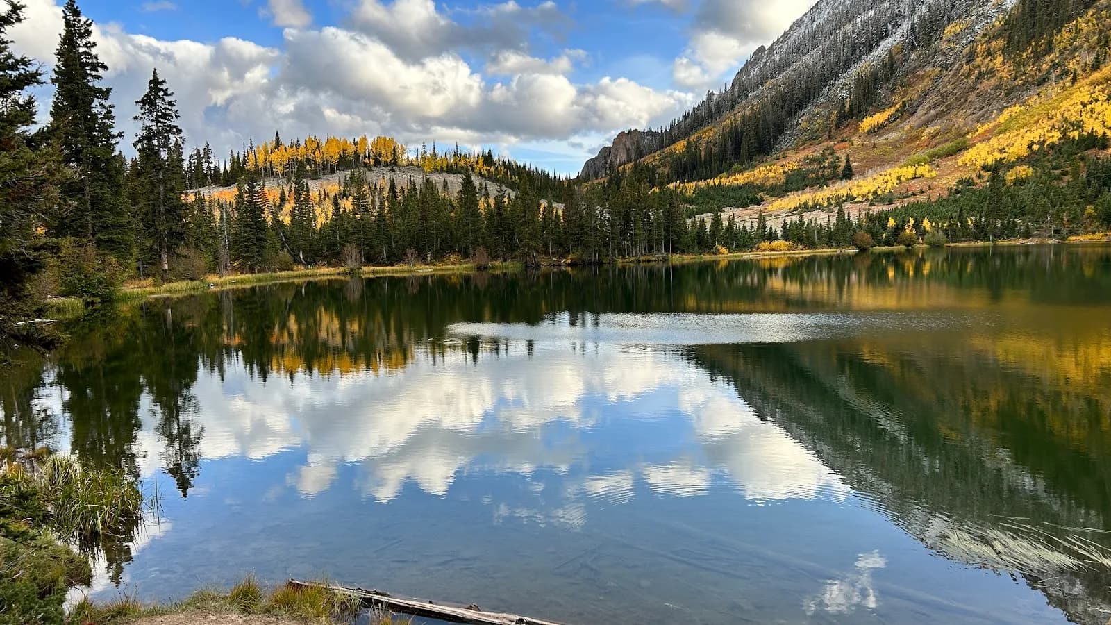
The Ruby Anthracite Trailhead is located in Somerset, Colorado, on the Western Slope, serving as the access point for Ruby Anthracite Trail #836. The trail begins at the end of Forest Service Road 796 off Trout Creek Road and enters the Raggeds Wilderness. The route descends through aspen forest and past beaver ponds to the edge of Ruby Anthracite Canyon. Hikers navigate a series of switchbacks down into the canyon. The trail is rated moderate to challenging, with a total distance ranging from 4.4 miles to 9.9 miles depending on the specific route segment or if the full out-and-back is completed. The typical duration is approximately 2 hours for the trailhead section or up to 5 hours and 29 minutes for the full 9.9-mile out-and-back. The trail allows hiking and leashed dogs from July through October or November. Parking is available at the trailhead. The surface is dirt, and the elevation gain is approximately 925 feet.
Trail profile
Gain
—
Avg grade
—
Steepest
—
High point
8,585 ft
Good to know
Parking at the trailhead
Restrooms available
Dogs allowed on leash
Waypoints
No waypoints mapped for this trail yet.
What people say
Reviews
No reviews yet
Been here? Help the next person out.
Within 30 miles