Mountain Biking · Rifle, CO
Paul's Trail
Before you go
Live · nearest station Glenwood Springs, 24 miGood window today.
Thunderstorms
Feels like 65°
Storm chance
21% afternoon
Wind
5 mph W
Distance
—
Elevation gain
—
High point
5,358ft
Season
Apr - Octin season
About
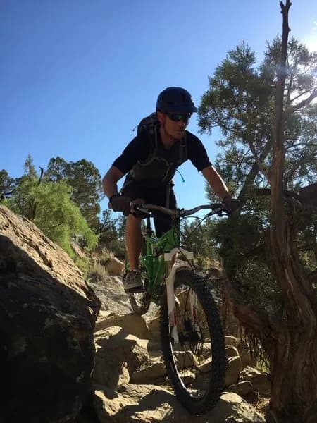
Paul's Trail is a moderate singletrack mountain biking route located near Rifle, Colorado. The trail serves as a connection between the 'Y' parking spot at the end of Upper Sidewinder and the BLM Lot. Riders access the trail from Manzier, crossing a gravel road that leads to the BLM lot. The route is described as well-used and heavily traveled. The terrain features smooth singletrack sections mixed with technical rocky obstacles. A key segment involves diving into a dry creekbed drainage, crossing over it, and paralleling it before navigating back into the bed. The trail includes three distinct challenging rock features requiring loose rock navigation, followed by a short, steep climb out of the drainage. The trail is usable in both directions. Parking is available at the trailhead. The trail is open from April through October. Pets are permitted.
Trail profile
Gain
—
Avg grade
—
Steepest
—
High point
5,358 ft
Good to know
Parking at the trailhead
Dogs allowed on leash
Waypoints
Latest trail reportgood
Trail is in good condition. Traction is good with minimal obstacles.
Reported Mar 2, 2025Verified
What people say
Reviews
No reviews yet
Been here? Help the next person out.
Within 30 miles