Fall Hiking · Lake City, CO
Powderhorn Wilderness
Before you go
Live · nearest station Gunnison, 32 miStorms are likely above treeline tonight. Start early and be off the ridge by midday.
Chance of Rain
Feels like 54°
Storm chance
57% tonight
Wind
5 mph ESE
Distance
—
Elevation gain
—
High point
11,603ft
Season
Sep - Novin season
About
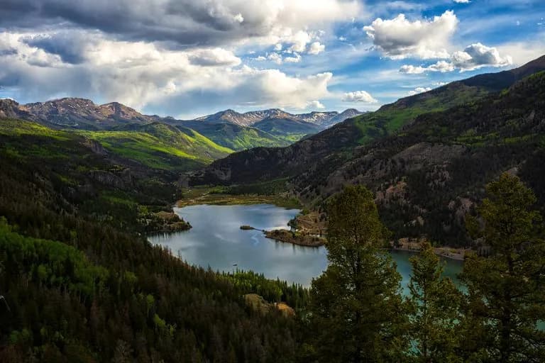
Powderhorn Wilderness is a 61,915-acre area located 10 miles northeast of Lake City on Colorado's Western Slope. It offers moderate fall hiking with elevations ranging from 8,699 feet to 12,600 feet. The landscape features sagebrush meadows, aspen groves, and coniferous forests of pine, spruce, and fir. Key trails include Powderhorn Lakes, East Fork, Cannibal Plateau, and North Calf Creek. The Powderhorn Lakes trail provides a gentle climb to scenic lakes in the eastern escarpment of the Calf Creek Plateau. Cannibal Plateau offers views over Lake City and leads to Mesa Seco. The area contains large, relatively flat alpine tundra areas worn by glaciation. Wildlife such as elk and mule deer are present in the plateaus and lower elevation stands. The wilderness is open year-round, with September through November being a primary season for fall hiking. Parking is available at trailheads, and dogs are allowed on leash. The area is managed by both the Bureau of Land Management and Gunnison National Forest.
Trail profile
Gain
—
Avg grade
—
Steepest
—
High point
11,603 ft
Good to know
Parking at the trailhead
Restrooms available
Dogs allowed on leash
Waypoints
No waypoints mapped for this trail yet.
What people say
Reviews
No reviews yet
Been here? Help the next person out.
Within 30 miles