Mountain Biking · Aspen, CO
Red Canyon Trail (FS 1933)
Before you go
Live · nearest station Aspen, 0 miGood window today.
Chance of Rain
Feels like 54°
Storm chance
45% tonight
Wind
5 mph SSE
Distance
—
Elevation gain
—
High point
7,890ft
Season
Apr - Octpeak now
About
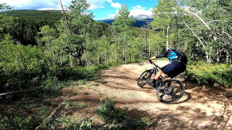
Red Canyon Trail (FS 1933) is a difficult, approximately 3-mile out-and-back mountain biking route located near Basalt and Aspen, Colorado. The trail follows the lower slopes of Triangle Peak toward the mouth of Red Canyon, offering public access to an area that begins on BLM land and transitions to White River National Forest land. Built primarily in 2015 following a settlement between Pitkin County and Aspen Valley Ranch, the trail replaced historic road access that became private property. The route features singletrack that is three to four feet wide with sustainable grades. Riders encounter varied terrain, including pinion, juniper, and sage fields, as well as scree zones containing cantaloupe-sized loose rocks. The upper sections of the canyon offer more bike-optimized turns and grade reversals. While the trail is suitable for mountain biking, it is also used for hiking, running, and horseback riding. Pets are permitted. Parking is available at the trailhead. The trail is accessible from April through October, though winter wildlife closures may apply from December through April 30. Riders should note that Aspen Valley Ranch is currently under construction, requiring users to follow temporary trails marked by fencing through the construction site. Views of Aspen Mountain and Aspen Highlands are visible in the distance.
Trail profile
Gain
—
Avg grade
—
Steepest
—
High point
7,890 ft
Good to know
Parking at the trailhead
Dogs allowed on leash
Waypoints
Latest trail reportgood
Trail is in good condition. Traction is good with minimal obstacles.
Reported Mar 2, 2025Verified
What people say
Reviews
No reviews yet
Been here? Help the next person out.
Within 30 miles