Mountain Biking · Aspen, CO
Red Rim Rd.
Before you go
Live · nearest station Aspen, 0 miGood window today. Daylight to 7:02 pm.
Thunderstorms
Feels like 53°
Storm chance
45% tonight
Wind
5 mph SSW
UV index
0 low
Sun window
6:56 am to 7:02 pm
Distance
—
Elevation gain
—
High point
7,890ft
Season
Apr - Octpeak now
About
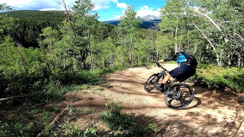
Red Rim Road (FSR #534) is a steep, rocky dirt road near Aspen and Woody Creek, primarily used as a mountain biking route with hiking and running options. The trail spans approximately 5.9 miles and features significant elevation gain, with one source citing an elevation of 7,887 feet and another noting nearly 3,000 feet of vertical change. The terrain is characterized by loose gravel, large loose rocks, and steep inclines that often require hike-a-bike sections, particularly on the ascent. The trail connects to the Arbaney-Kittle Trail and provides access to views of the West Elk Mountains, including Capitol Peak and Snowmass Mountain. Vegetation includes dark timber, aspen forests, and shrub oak. The trail is dog-friendly and has parking available at the trailhead. The recommended season for riding is April through October. While rated difficult, user feedback indicates the lower southern end terminates on Lower River Road, and conditions can vary, with some riders reporting deep dust and steep, unsafe descents.
Trail profile
Gain
—
Avg grade
—
Steepest
—
High point
7,890 ft
Good to know
Parking at the trailhead
Dogs allowed on leash
Waypoints
Latest trail reportgood
Trail is in good condition. Traction is good with minimal obstacles.
Reported Mar 2, 2025Verified
What people say
Reviews
No reviews yet
Been here? Help the next person out.
Within 30 miles