Mountain Biking · Montrose, CO
Red Rocks - South
Before you go
Live · nearest station Montrose, 0 miGood window today.
Mostly Cloudy
Feels like 61°
Storm chance
12% afternoon
Wind
5 mph NNW
Distance
5.6mi round trip
Elevation gain
436ft
High point
6,132ft
Season
Apr - Octin season
About
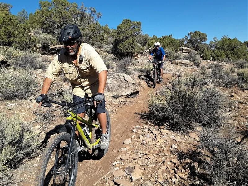
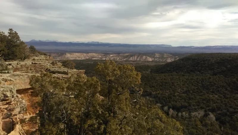
Red Rocks - South is a 5.6-mile mountain biking trail located in Montrose, Colorado, on the Western Slope. The route is rated difficult and typically takes about two hours to complete. It sits at an elevation of 5,814 feet and is generally open from April through October. The trail serves as a southern extension of the main Red Rocks Trail, offering views of the Adobes and Red Rock Canyon. The surface consists of singletrack sections and ridgeline trails. Because the trail was originally designed for motorized use, riders encounter steep climbs and descents with loose terrain. These conditions often require carrying the bike for hundreds of vertical feet, particularly on the return leg if traveling west to east. Riding from east to west is considered more rideable, starting near Kurt's Connector or Skull and Crossbones. The initial section is mostly smooth with steep descents until meeting Elephant Skin Road one-third of the way. A spur leads to a larger parking area further north, and parking is available at the trailhead. Pets are allowed on the trail.
Trail profile
Gain
436 ft
Avg grade
1%
Steepest
2%
High point
6,132 ft
Good to know
Parking at the trailhead
Dogs allowed on leash
Waypoints
Latest trail reportgood
Trail is in good condition. Traction is good with minimal obstacles.
Reported Mar 2, 2025Verified
What people say
Reviews
No reviews yet
Been here? Help the next person out.
Within 30 miles