Hiking · Durango, CO
Rim Trail
Before you go
Live · nearest station Durango, 3 miStorms build later today. Plan an early finish.
Thunderstorms
Feels like 56°
Storm chance
57% tonight
Wind
0 mph
Animas River at Durango is running 808 cfs and rising, water 54°.
Distance
2.8mi round trip
Elevation gain
181ft
High point
7,356ft
Season
Jan - Dec
About
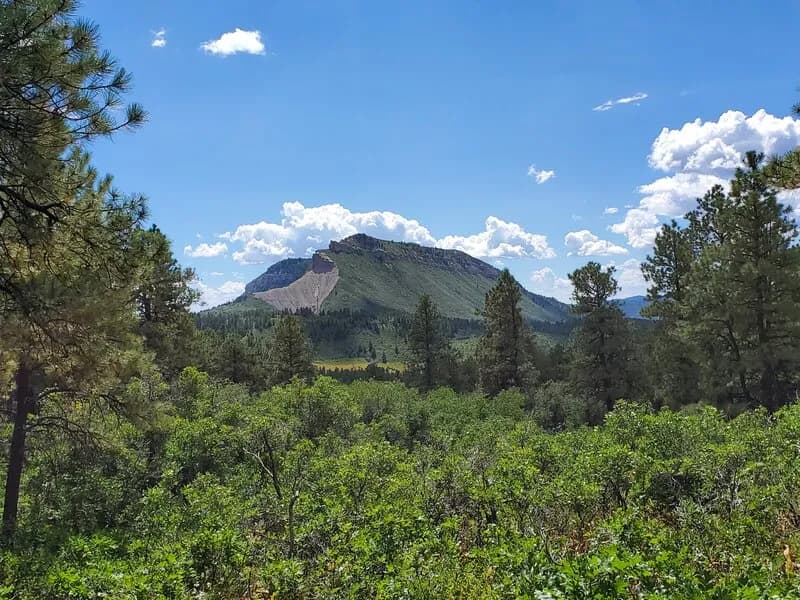
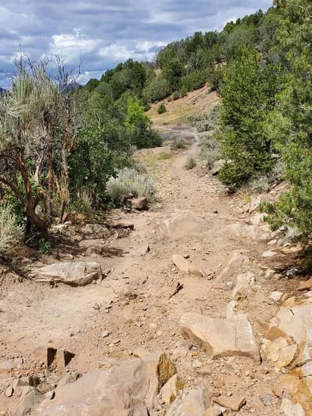
The Rim Trail is a 2.8-mile loop located on the mesa at Fort Lewis College in Durango, Colorado. The trail sits at an elevation of 7,198 feet and offers views of the town and surrounding mountains. Access points include Chapman Hill at the base or driving up to the college mesa via Rim Drive. Parking is available in the Chapman Hill lot and along the rim. The route follows the campus perimeter with little elevation gain, featuring a small descent before crossing East 8th Avenue and climbing back up. While generally considered moderate, some sources describe it as relatively easy. The trail connects to the Horse Gulch Trail system and other branching paths, which can make route finding slightly tricky. It is open year-round, with winter conditions potentially requiring traction devices. The typical duration is between 30 minutes for a short segment and two hours for the full loop.
Trail profile
Gain
181 ft
Avg grade
1%
Steepest
2%
High point
7,356 ft
Good to know
Parking at the trailhead
Waypoints
Latest trail reportgood
Trail is in good condition. No significant obstacles or hazards reported.
Reported Mar 2, 2025Verified
What people say
Reviews
No reviews yet
Been here? Help the next person out.
Within 30 miles