Rock Climbing · Durango, CO
Chip n' Dale
Before you go
Live · nearest station Durango, 3 miGood window today. Daylight to 5:07 pm.
Clear
Feels like 34°
Wind
0 mph
UV index
0 low
Sun window
6:42 am to 5:07 pm
Animas River at Durango is running 1,930 cfs and falling.
Distance
—
Elevation gain
—
High point
7,615ft
Season
Jan - Dec
About
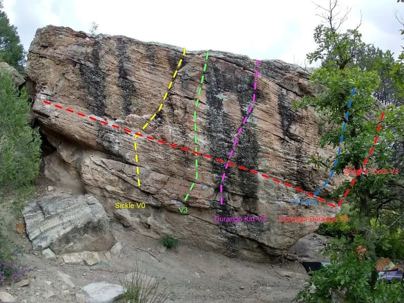
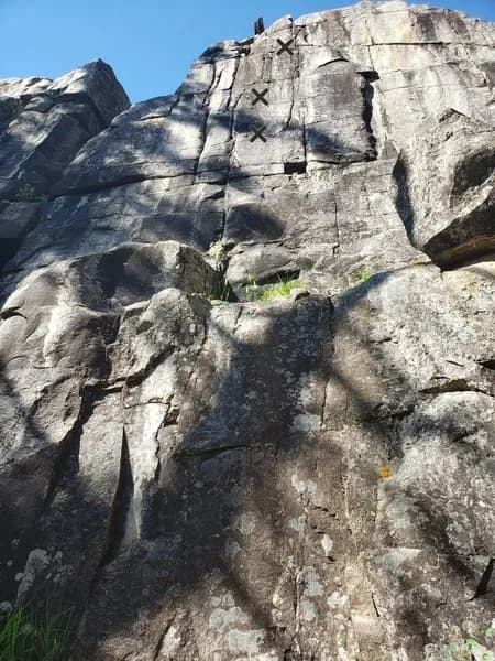
Chip n' Dale is a south-facing sandstone cliff near Durango, Colorado, featuring juggy, overhanging bouldery starts. The area is classified as difficult and is suitable for trad and sport climbing. The cliff is shaded in summer mornings and sunny in winter afternoons. Summer afternoons can be hot, while winter mornings are cold. Access involves passing the main Junction Creek parking area and heading uphill to a pullout next to a large conifer and boulder. The approach takes approximately 15 minutes, crossing a conglomerate slab and turning right through trees to reach the base. Climbers should avoid lingering under the two death blocks at the far right side of the cliff, particularly when lowering off the anchors of Simon's Solution. The site is pet-friendly and has available parking.
Trail profile
Gain
—
Avg grade
—
Steepest
—
High point
7,615 ft
Good to know
Parking at the trailhead
Dogs allowed on leash
Waypoints
Latest trail reportgood
Spring climbing conditions. Route may be wet after rainfall. Check weather forecast before climbing.
Reported Mar 4, 2025Verified
What people say
Reviews
No reviews yet
Been here? Help the next person out.
Within 30 miles