Mountain Biking · Montrose, CO
Rimrocker Trail
Before you go
Live · nearest station Montrose, 0 miGood window today. Daylight to 6:27 pm.
Chance of Rain
Feels like 53°
Storm chance
22% tonight
Wind
0 mph
UV index
0 low
Sun window
7:24 am to 6:27 pm
Distance
158.2mi round trip
Elevation gain
3,087ft
High point
8,894ft
Season
Apr - Octin season
About
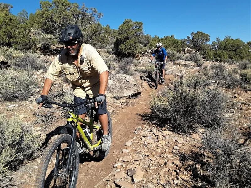
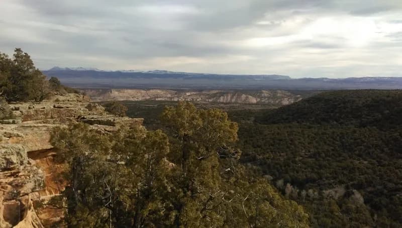
The Rimrocker Trail is a 160-mile long-distance mountain biking route connecting Montrose, Colorado, to Moab, Utah. It traverses diverse terrain including redrock canyons, winding rivers, desert vistas, and alpine forests. The trail offers significant elevation changes, climbing out of valleys and across high plateaus, with a high point just under 10,000 feet. The eastern half consists of wide, graded gravel roads suitable for bicycles and family sedans, while the western section in Utah requires more capable 4x4 or mountain bike skills. It is a multi-use route shared with 4WD vehicles, OHVs, and motorcycles. Dispersed camping is available on National Forest and BLM lands, along with four designated campgrounds. Water is a known constraint, requiring riders to time trips for snowmelt or bring support vehicles. The trail is generally open from April through October, though higher segments may not clear until June. Parking is available at trailheads, and the route is well-signed with GPS coordinates and maps available from local visitor centers.
Trail profile
Gain
3,087 ft
Avg grade
0%
Steepest
1%
High point
8,894 ft
Good to know
Parking at the trailhead
Dogs allowed on leash
Waypoints
Latest trail reportgood
Trail is in good condition. Traction is good with minimal obstacles.
Reported Mar 2, 2025Verified
What people say
Reviews
No reviews yet
Been here? Help the next person out.
Within 30 miles