Hiking · Gunnison, CO
Road 3540
Before you go
Live · nearest station Gunnison, 2 miStorms build later today. Plan an early finish.
Chance of Rain
Feels like 54°
Storm chance
57% tonight
Wind
5 mph ESE
Distance
0.9mi round trip
Elevation gain
258ft
High point
7,970ft
Season
Jan - Dec
About
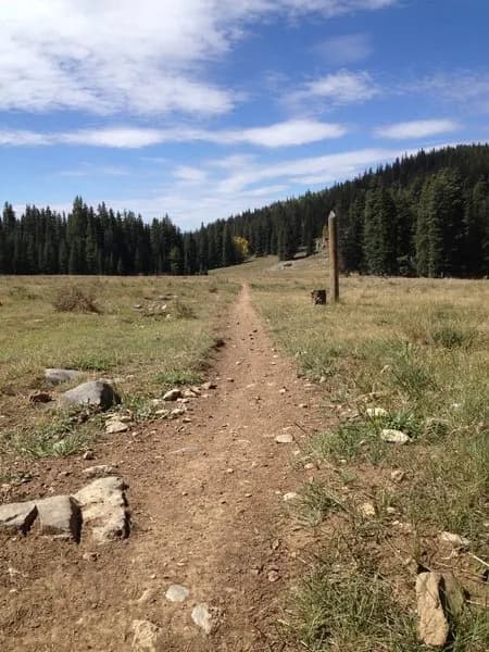
Road 3540 is a 0.9-mile dirt hiking trail in Gunnison, Colorado, located within the Hartman Rocks area. The route offers an easy difficulty level and sits at an elevation of 7,970 feet. It functions as part of the local dirt road and trail system, commonly used to access Gateway or Water Treatment from the McCabe parking area. The trailhead provides available parking, and conditions are generally stable enough for year-round access from January through December. The estimated duration is approximately 27 minutes, supporting a leisurely pace suitable for most visitors.
Trail profile
Gain
258 ft
Avg grade
5%
Steepest
5%
High point
7,970 ft
Good to know
Parking at the trailhead
Waypoints
Latest trail reportgood
Trail is in good condition. No significant obstacles or hazards reported.
Reported Mar 2, 2025Verified
What people say
Reviews
No reviews yet
Been here? Help the next person out.
Within 30 miles