Hiking · Gunnison, CO
Road 3570
Before you go
Live · nearest station Gunnison, 2 miStorms build later today. Plan an early finish.
Thunderstorms
Feels like 58°
Storm chance
57% tonight
Wind
5 mph N
Distance
1.6mi round trip
Elevation gain
57ft
High point
8,302ft
Season
Jan - Dec
About
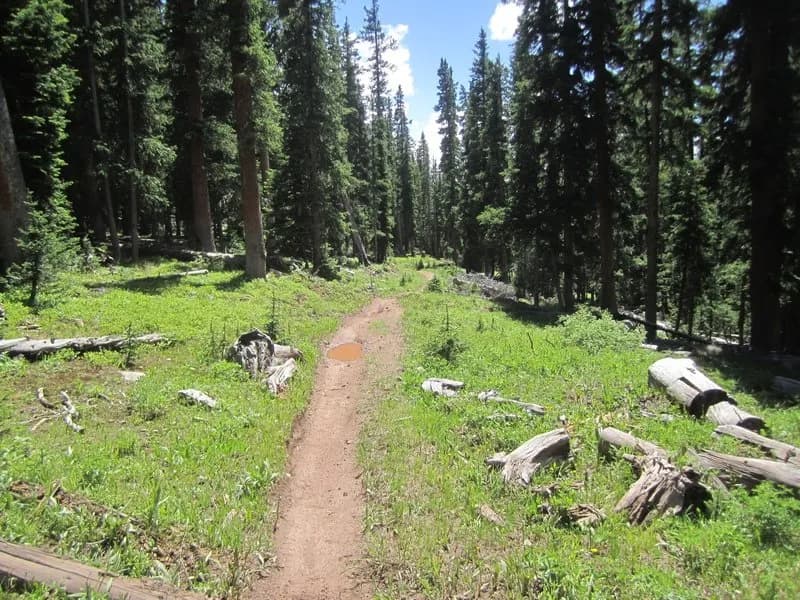
Road 3570 is an easy, 1.6-mile hiking route located in Gunnison, Colorado, at an elevation of 8,302 feet. The trail is part of the dirt road system at Hartman Rocks and provides access between Rattlesnake, Sky Line, and Josho's trails. It is suitable for year-round use, typically taking about one hour to complete. Parking is available at the trailhead, and the terrain is gentle enough for hikers of all skill levels.
Trail profile
Gain
57 ft
Avg grade
1%
Steepest
1%
High point
8,302 ft
Good to know
Parking at the trailhead
Waypoints
Latest trail reportgood
Trail is in good condition. No significant obstacles or hazards reported.
Reported Mar 2, 2025Verified
What people say
Reviews
No reviews yet
Been here? Help the next person out.
Within 30 miles