Hiking · Rifle, CO
Roan Cliff Chaos
Before you go
Live · nearest station Glenwood Springs, 24 miGood window today.
Mostly Cloudy
Feels like 58°
Storm chance
6% tonight
Wind
5 mph ENE
Distance
4.1mi round trip
Elevation gain
340ft
High point
6,037ft
Season
Jan - Dec
About
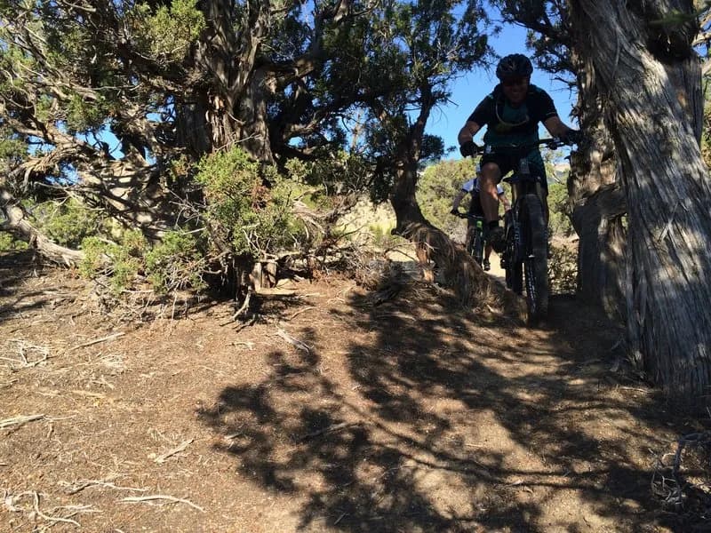
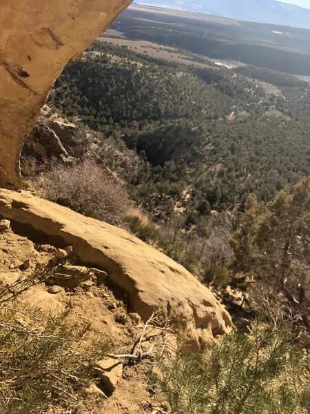
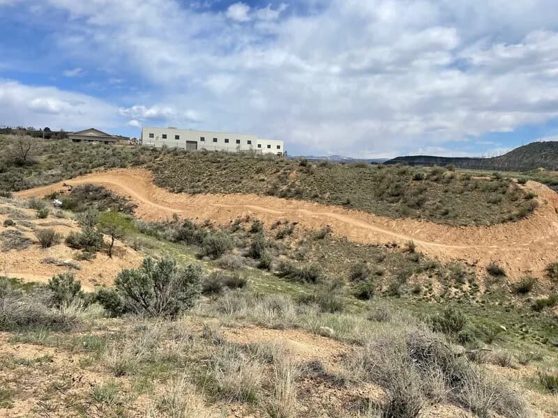
Roan Cliff Chaos is a 4.1-mile difficult singletrack loop on the Roan Platea near Rifle, Colorado, starting at 6,037 feet. The route is shared with mountain bikers and motorcyclists. The trail begins with a climb up Lower Faceplant, then continues onto the main Chaos section with short descents before reaching a fence line summit. From there, it descends to a gravel road where hikers connect to Loop 3. The path crosses a mesa edge marked by junipers with arrow signs, briefly joins a 4x4 road, and passes a camping area with a firepit. The terrain becomes ledgey and rugged, traversing the hillside with repeated ups and downs. A steep, rutted rocky section follows, leading to a traverse above a creek bed. Heavy rains in 2014 created a significant rain gutter in the trail center here. The trail exits to a 4x4 road, where a right turn leads to an orange arrow directing hikers into a dry creek bed. This bed leads to another 4x4 road; turning right returns to the BLM parking lot, while a left continues toward Gun Loop. Parking is available at the trailhead.
Trail profile
Gain
340 ft
Avg grade
2%
Steepest
2%
High point
6,037 ft
Good to know
Parking at the trailhead
Waypoints
Latest trail reportgood
Trail is in good condition. No significant obstacles or hazards reported.
Reported Mar 2, 2025Verified
What people say
Reviews
No reviews yet
Been here? Help the next person out.
Within 30 miles