Fall Hiking · Delta, CO
Roubideau / Camel Back Wilderness Study Area
Before you go
Live · nearest station Delta County, 16 miGood window today. Daylight to 7:07 pm.
Cloudy
Feels like 68°
Storm chance
17% tonight
Wind
5 mph W
UV index
0.1 low
Sun window
7:01 am to 7:07 pm
Uncompahgre River at Delta is running 416 cfs, water 62°.
Distance
—
Elevation gain
—
High point
4,984ft
Season
Sep - Novin season
About
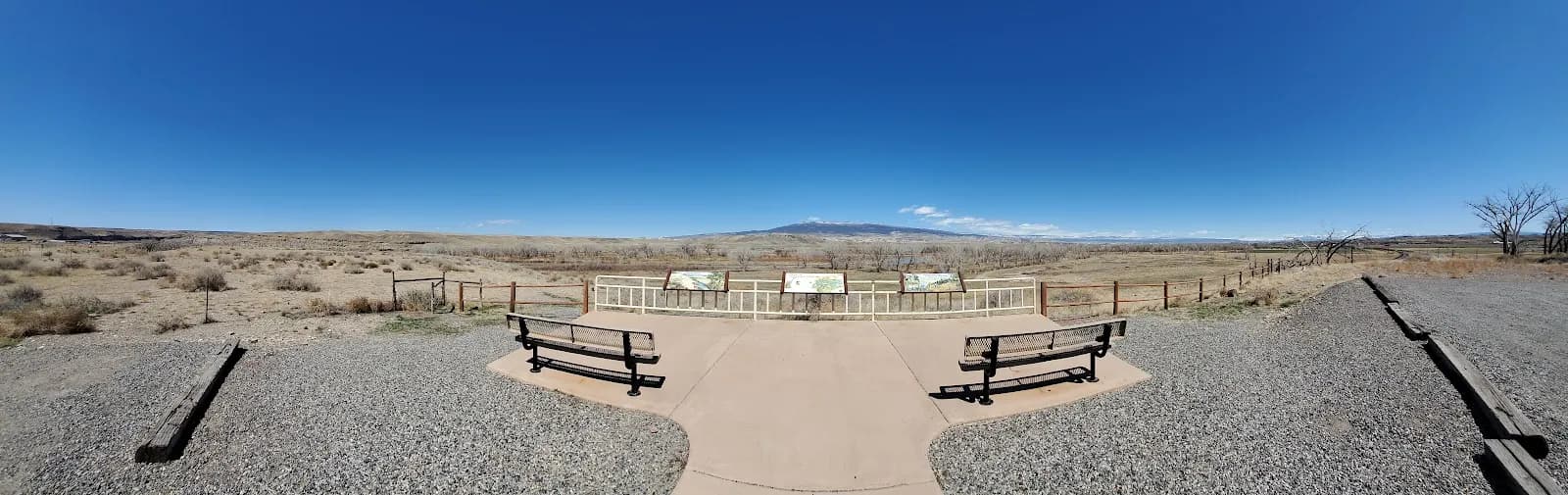
The Roubideau and Camel Back Wilderness Study Area in Delta, Colorado, offers a moderate fall hiking experience defined by deep canyons and extensive mesas. Located approximately nine miles southwest of Delta, the area features trails that traverse terrain sculpted by north-to-south oriented streams. These waterways have cut through Mesozoic sandstones to create massive cliffs, amphitheaters, and talus slopes. The geologic structure forms a transition zone between the Colorado Plateau and Rocky Mountain Forest provinces, supporting vegetation such as pinyon-juniper, cottonwood, willows, and various cacti. Wildlife present in the area includes deer, elk, coyote, mountain lion, and desert bighorn sheep. The Old Roubideau Trail #105 travels through aspen stands, while the Roubideau Pack Trail crosses canyons and creeks. Hikers can view three panels of Roubideau Creek Petroglyphs near the pack trail crossing. The area is generally accessible from September through November, with typical hikes lasting about two hours. Parking is available at the trailhead. The terrain can be rocky and steep in sections, with variable conditions depending on weather. Pets are allowed on the trails.
Trail profile
Gain
—
Avg grade
—
Steepest
—
High point
4,984 ft
Good to know
Parking at the trailhead
Restrooms available
Dogs allowed on leash
Waypoints
No waypoints mapped for this trail yet.
What people say
Reviews
No reviews yet
Been here? Help the next person out.
Within 30 miles