Rock Climbing · Grand Junction, CO
Route 4
Before you go
Live · nearest station Grand Junction, 0 miGood window today.
Mostly Cloudy
Feels like 65°
Storm chance
2% tonight
Wind
0 mph
Gunnison River near Grand Junction is running 1,160 cfs, water 65°.
Distance
—
Elevation gain
—
High point
4,603ft
Season
Jan - Dec
About
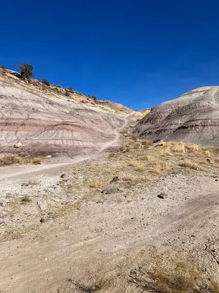
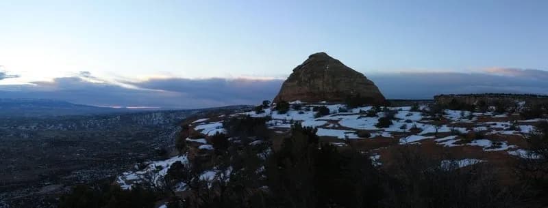
Route 4 is a moderate trad climbing route located in the Grand Junction area of Western Colorado, sitting at an elevation of 4,598 feet. The climb ascends approximately 80 feet (24 meters) through parallel cracks, featuring an offset hand or fist splitter and a finger crack within a corner. The route is described as very three-dimensional with several good rests. It was first ascended by Kris Hjelle and Andy Petefish around 1988. Physically, the route is positioned approximately 40 feet to the left of a feature called Big Foot and is situated in a recessed, right-facing corner. Climbers typically use BD #3.0 and #4.0 nuts along with Friends in those sizes for protection. A top rope variation exists that ascends a splitter from thin hands to small fingers through a body-length pod left of the main route, rated at 5.11. Parking is available at the base of the climb. The site is pet-friendly, allowing dogs on leads. While the route is accessible year-round from January through December, winter conditions may require additional precautions. The area offers jagged red rocks, exposed cliff faces, and technical boulders, with local climbing shops like Summit Canyon Mountaineering and REI providing gear and beta. The Western Colorado Climbers' Coalition serves as a resource for access issues and bolting rules.
Trail profile
Gain
—
Avg grade
—
Steepest
—
High point
4,603 ft
Good to know
Parking at the trailhead
Dogs allowed on leash
Waypoints
Latest trail reportgood
Spring climbing conditions. Route may be wet after rainfall. Check weather forecast before climbing.
Reported Mar 3, 2025Verified
What people say
Reviews
No reviews yet
Been here? Help the next person out.
Within 30 miles