Hiking · Grand Junction, CO
Lower Liberty Cap Trail Out and Back
Before you go
Live · nearest station Grand Junction, 0 miGood window today.
Mostly Cloudy
Feels like 74°
Storm chance
5% tonight
Wind
5 mph SSW
Distance
3.3mi round trip
Elevation gain
209ft
High point
4,779ft
Season
Jan - Dec
About
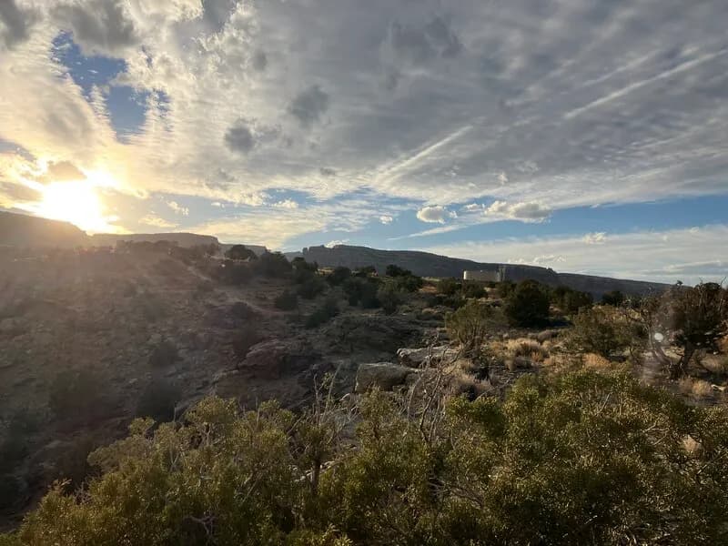
The Lower Liberty Cap Trail is a 3.3-mile out-and-back hike located in Grand Junction, Colorado, within the Colorado National Monument. Starting from the Wildwood Trailhead on the west side, the route offers a steep ascent to Liberty Cap, an ancient sandstone dome. The trail begins with smooth, sandy singletrack through arid prairie before transitioning into a boulder-strewn wash. Hikers climb the backside of the Precambrian mesa, passing the Corkscrew Trail junction and continuing up red dirt paths. The final section involves scrambling over rocks, past carved steps and metal poles, to reach the summit. Elevation ranges from 4,587 feet at the trailhead to higher points near the cap. The route is rated difficult, typically taking about two hours to complete. Views include the Grand Valley, Ute Canyon, and surrounding canyons. Parking is available at the trailhead. The trail is accessible year-round, though winter conditions may bring snow and ice.
Trail profile
Gain
209 ft
Avg grade
1%
Steepest
2%
High point
4,779 ft
Good to know
Parking at the trailhead
Waypoints
Latest trail reportgood
Trail is in good condition. No significant obstacles or hazards reported.
Reported Mar 2, 2025Verified
What people say
Reviews
No reviews yet
Been here? Help the next person out.
Within 30 miles
Nearby spots