Hiking · Gunnison, CO
Sawtooth Trail
Before you go
Live · nearest station Gunnison, 4 miGood window today. Daylight to 6:23 pm.
Thunderstorms
Feels like 57°
Storm chance
25% tonight
Wind
5 mph S
UV index
0 low
Sun window
7:21 am to 6:23 pm
Distance
0.8mi round trip
Elevation gain
111ft
High point
8,380ft
Season
Jan - Dec
About
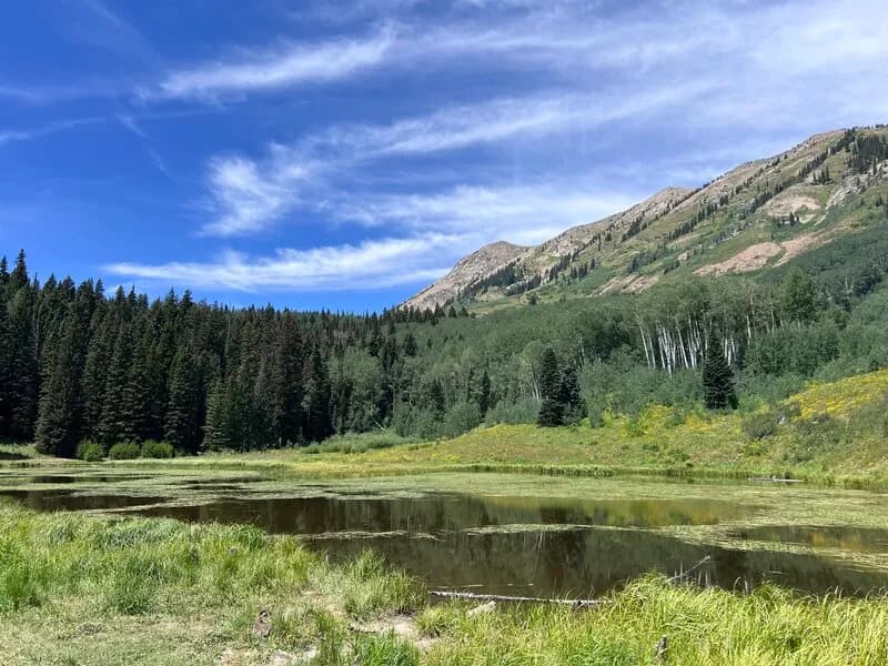
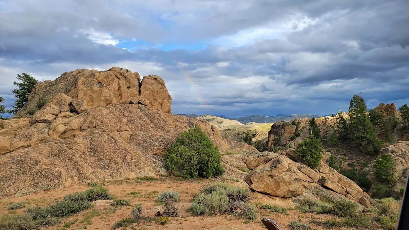
The Sawtooth Trail is a short, multi-use route in the Rocky Mountains near Gunnison on Colorado's Western Slope. The trail spans approximately three-quarters of a mile with an elevation range from 8,268 to 8,385 feet. It features a dirt surface composed of many rock ridges with mixed slickrock sections. The trail is classified as difficult or moderately popular, with a total elevation gain of 116 to 123 feet. Hikers typically complete the point-to-point route in about one hour. The trail allows hiking, biking, horseback riding, and motorcycle use, while excluding ATVs and high-clearance OHVs. Dogs are permitted on the trail. Access is available via Bambi's Trail, which connects to the Sawtooth Loop system. The best time to visit is generally from May through October, though the trail remains accessible year-round. Parking is available near the trailhead. The route can be traversed in either direction, with a south-to-north hike offering more downhill terrain.
Trail profile
Gain
111 ft
Avg grade
3%
Steepest
3%
High point
8,380 ft
Good to know
Parking at the trailhead
Waypoints
Latest trail reportgood
Trail is in good condition. No significant obstacles or hazards reported.
Reported Mar 2, 2025Verified
What people say
Reviews
No reviews yet
Been here? Help the next person out.
Within 30 miles