Mountain Biking · Gunnison, CO
Signal Peak Intermediate Loop
Before you go
Live · nearest station Gunnison, 0 miStorms build later today. Plan an early finish.
Rain Showers Likely
Feels like 48°
Storm chance
56% overnight
Wind
0 mph
Distance
—
Elevation gain
—
High point
7,705ft
Season
Apr - Octpeak now
About
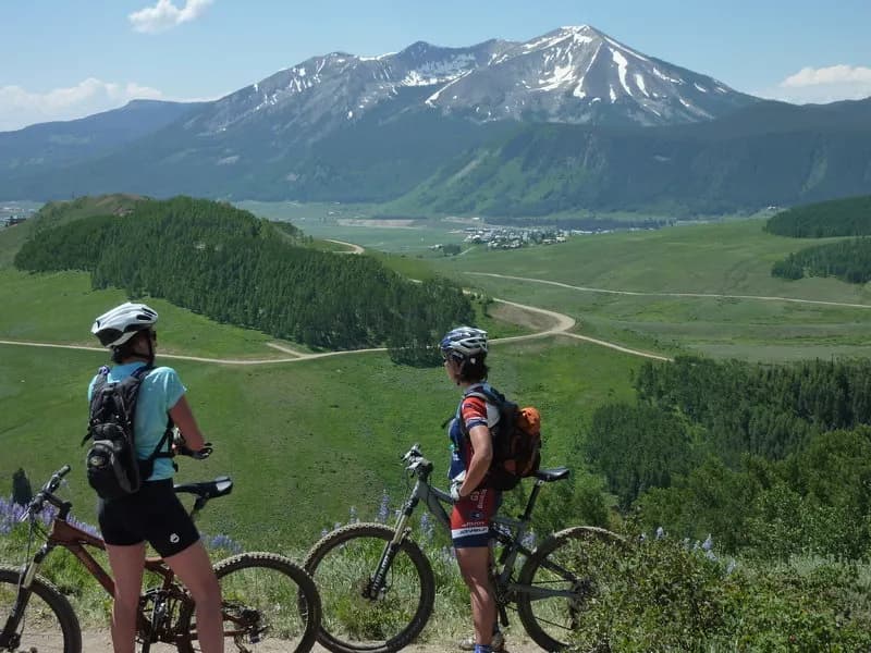
The Signal Peak Intermediate Loop is a moderate mountain biking route located in Gunnison, Colorado, adjacent to Western Colorado University. The trail climbs approximately 2,692 feet in elevation, offering views of the Gunnison Valley, rolling grasslands, and mesas. The route begins on Chicken Wing trail, a singletrack that winds north, before connecting to Shoelace trail for switchbacks toward the summit. From the high point, riders descend on South Rim trail, a narrow, flowy section on the south side of the peak, before finishing on Duane's World, a fast, mostly descending trail through sagebrush. The trail system is managed by the BLM and maintained by Gunnison Trails. Parking is available for 6-7 cars, but there are no restrooms or water at the trailhead. The trail is closed to all traffic from March 15 to May 15. Bikes are prohibited from January 1 to April 30 and are not allowed before 10 am from May 1 to May 15. E-bikes, dirt bikes, and ATVs are prohibited. The trail is pet-friendly.
Trail profile
Gain
—
Avg grade
—
Steepest
—
High point
7,705 ft
Good to know
Parking at the trailhead
Dogs allowed on leash
Waypoints
Latest trail reportgood
Trail is in good condition. Traction is good with minimal obstacles.
Reported Mar 2, 2025Verified
What people say
Reviews
No reviews yet
Been here? Help the next person out.
Within 30 miles