Hiking · Crested Butte, CO
Silver Queen Road
Before you go
Live · nearest station Gunnison, 21 miStorms build later today. Plan an early finish.
Chance of Rain
Feels like 52°
Storm chance
56% tonight
Wind
0 mph
Distance
4.4mi round trip
Elevation gain
2,788ft
High point
11,640ft
Season
Jan - Dec
About
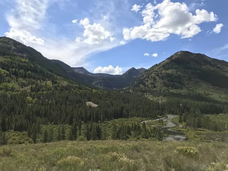
Silver Queen Road is a paved access road and hiking route on the Mt. Crested Butte ski area, serving as the primary approach to the summit of Crested Butte. Starting from the base area or the top of the Silver Queen Express chairlift, the road switchbacks uphill with a gentle grade, offering views of the town and surrounding mountains. It connects to the steeper, rocky Summit Path, which leads to the 12,162-foot peak. The road itself is suitable for hiking, running, or biking, while the final ascent to the summit involves basic scrambling and exposed sections. Parking is available near the base area lift ticket center.
Trail profile
Gain
2,788 ft
Avg grade
12%
Steepest
20%
High point
11,640 ft
Good to know
Parking at the trailhead
Waypoints
Latest trail reportgood
Trail is in good condition. No significant obstacles or hazards reported.
Reported Mar 2, 2025Verified
What people say
Reviews
No reviews yet
Been here? Help the next person out.
Within 30 miles