Hiking · Silverton, CO
Silverton Tour
Before you go
Live · nearest station Telluride, 12 miStorms are likely above treeline tonight. Start early and be off the ridge by midday.
Thunderstorms
Feels like 46°
Trailhead temp
36° est. at 12,093 ft
Storm chance
58% tonight
Wind
5 mph E
Distance
32.8mi round trip
Elevation gain
3,510ft
High point
12,303ft
Season
Jan - Dec
About
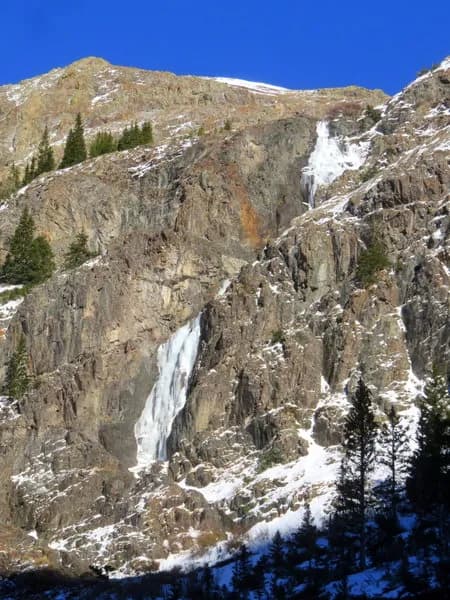
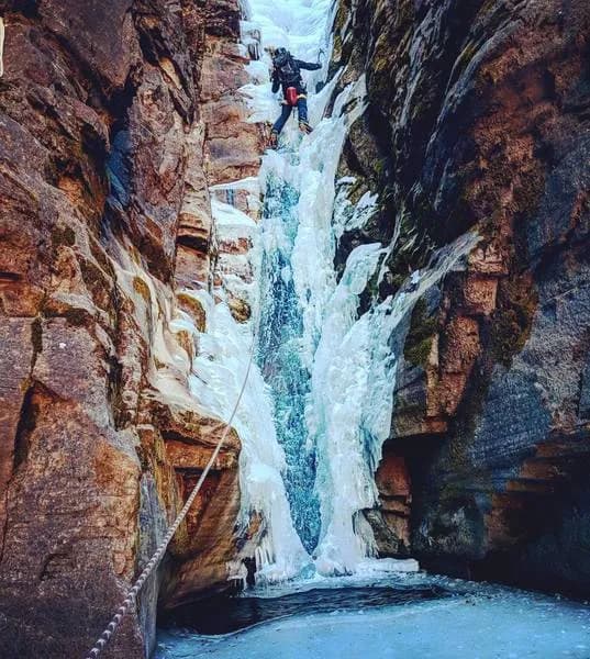
The Silverton Tour is a 32.8-mile loop located in Silverton, Colorado, on the Western Slope. Classified as difficult, the hike has an elevation gain of 12,093 feet and typically takes about 22 hours to complete. The route begins at Memorial Park in downtown Silverton, which offers parking and restrooms. Hikers traverse Boulder Gulch, South Fork, Minnie Gulch, and Cunningham Gulch, connecting various trails and forestry roads. The trail is accessible year-round, from January to December. Much of the route follows infrequently used trails that may be obscured by growth or downed trees, so using a GPS tracking tool is recommended. The terrain includes steep climbs, ridges, and descents above creeks. A small campground with a store is available near the Animas River road for snacks and drinks. The area features historic mining sites, wildflowers, and views of surrounding peaks.
Trail profile
Gain
3,510 ft
Avg grade
2%
Steepest
6%
High point
12,303 ft
Good to know
Parking at the trailhead
Restrooms available
Waypoints
Latest trail reportgood
Trail is in good condition. No significant obstacles or hazards reported.
Reported Mar 2, 2025Verified
What people say
Reviews
No reviews yet
Been here? Help the next person out.
Within 30 miles