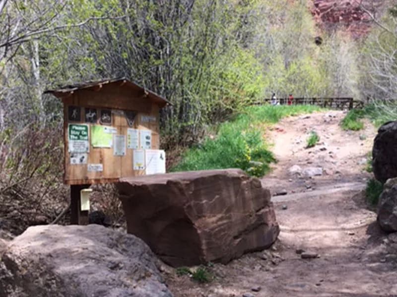
Hiking · Telluride, CO
Southwest Ridge of Mount Sneffels
Before you go
Live · nearest station Telluride, 2 miGood window today.
Chance of Rain
Feels like 42°
Trailhead temp
35° est. at 10,764 ft
Storm chance
48% tonight
Wind
0 mph
Distance
0.9mi round trip
Elevation gain
411ft
High point
11,175ft
Season
Jan - Dec
About
The Southwest Ridge of Mount Sneffels is a Class 3 scrambling route that ascends to the 14,158-foot peak above Telluride and Ouray. The trail begins at Blue Lakes Pass, which is accessible via a 4WD road from Yankee Boy Basin or the Blue Lakes trailhead. The route covers approximately 6.5 miles round trip with an elevation gain of roughly 2,950 feet. Hikers encounter loose rock, talus, and defined gullies along the ridgeline. The climb involves hands-on scrambling with medium exposure, particularly around rock pinnacles and notches near 13,500 feet. A major notch in the ridge often holds snow into July. The upper section features solid rock leading to the summit, offering clear views and airy exposure. Parking is available at the outhouse area near the start of the 4WD road. The trail is open year-round, though conditions vary with snow and loose rock. It is considered a difficult hike suitable for experienced hikers comfortable with scrambling.
Trail profile
Gain
411 ft
Avg grade
9%
Steepest
9%
High point
11,175 ft
Good to know
Parking at the trailhead
Waypoints
Latest trail reportgood
Trail is in good condition. No significant obstacles or hazards reported.
Reported Mar 2, 2025Verified
What people say
Reviews
No reviews yet
Been here? Help the next person out.
Within 30 miles