Hiking · Silverton, CO
Spencer Basin Trail
Before you go
Live · nearest station Telluride, 13 miStorms are likely above treeline tonight. Start early and be off the ridge by midday.
Chance of Rain
Feels like 45°
Trailhead temp
33° est. at 12,777 ft
Storm chance
58% tonight
Wind
5 mph ESE
Distance
4.5mi round trip
Elevation gain
1,665ft
High point
12,777ft
Season
Jan - Dec
About
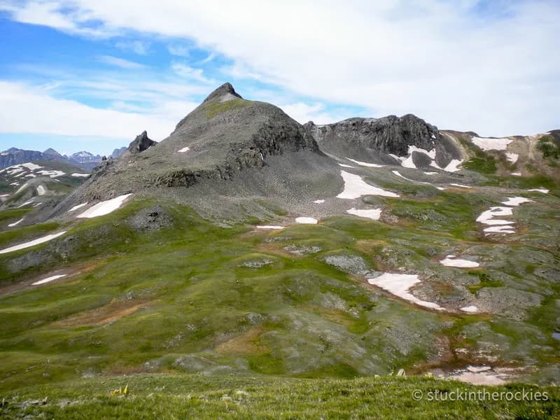
The Spencer Basin Trail is a 4.5-mile difficult hike near Silverton, Colorado, reaching an elevation of 12,777 feet. The route begins at the end of the Cunningham Gulch road and follows an old mining road into a valley surrounded by 13,000-foot peaks. The trail climbs gently to the southwest before becoming faint and challenging to navigate through the basin near a stream. Hikers cross a southern pass, descend toward the Whitehead Trail, and can connect to the Highland Mary Lakes trail for a larger loop. The area is largely treeless, offering open views of mountains and wildlife including mountain goats, marmots, and wildflowers. Parking is available at the trailhead. The trail is accessible year-round from January to December, though winter conditions may require extra preparation. The typical duration for the hike is about 3 hours.
Trail profile
Gain
1,665 ft
Avg grade
7%
Steepest
10%
High point
12,777 ft
Good to know
Parking at the trailhead
Waypoints
Latest trail reportgood
Trail is in good condition. No significant obstacles or hazards reported.
Reported Mar 2, 2025Verified
What people say
Reviews
No reviews yet
Been here? Help the next person out.
Within 30 miles