Mountain Biking · Montrose, CO
Spring Canyon Road
Before you go
Live · nearest station Montrose, 0 miGood window today. Daylight to 6:27 pm.
Chance of Rain
Feels like 52°
Storm chance
18% tonight
Wind
5 mph SE
UV index
0 low
Sun window
7:24 am to 6:27 pm
Distance
2.9mi round trip
Elevation gain
284ft
High point
6,463ft
Season
Apr - Octin season
About
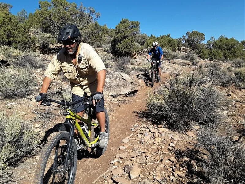
Spring Canyon Road is a 2.9-mile motorized county road near Montrose, Colorado, serving as the primary access route to the Spring Canyon trail network. The route begins at 6,463 feet and is classified as easy, typically taking about an hour to complete. It is open from April through October and allows pets. The road passes through private property until reaching the marked BLM boundary, where it provides access to trails such as Lower Spring Creek Trail, Old Spring Canyon Road, and the North and South Connector trails. Riders must stay on the road, which sits on a 12-foot wide easement, and leave gates as found. A bridge over Spring Creek is dilated and closed to motorized traffic. Parking is available at the trailhead.
Trail profile
Gain
284 ft
Avg grade
2%
Steepest
2%
High point
6,463 ft
Good to know
Parking at the trailhead
Dogs allowed on leash
Waypoints
Latest trail reportgood
Trail is in good condition. Traction is good with minimal obstacles.
Reported Mar 2, 2025Verified
What people say
Reviews
No reviews yet
Been here? Help the next person out.
Within 30 miles