Fall Hiking · Palisade, CO
Stagecoach Trailhead
Before you go
Live · nearest station Grand Junction, 13 miGood window today.
Mostly Cloudy
Feels like 66°
Storm chance
5% tonight
Wind
5 mph E
Colorado River near Cameo is running 1,480 cfs, water 65°.
Distance
—
Elevation gain
—
High point
4,737ft
Season
Sep - Novin season
About
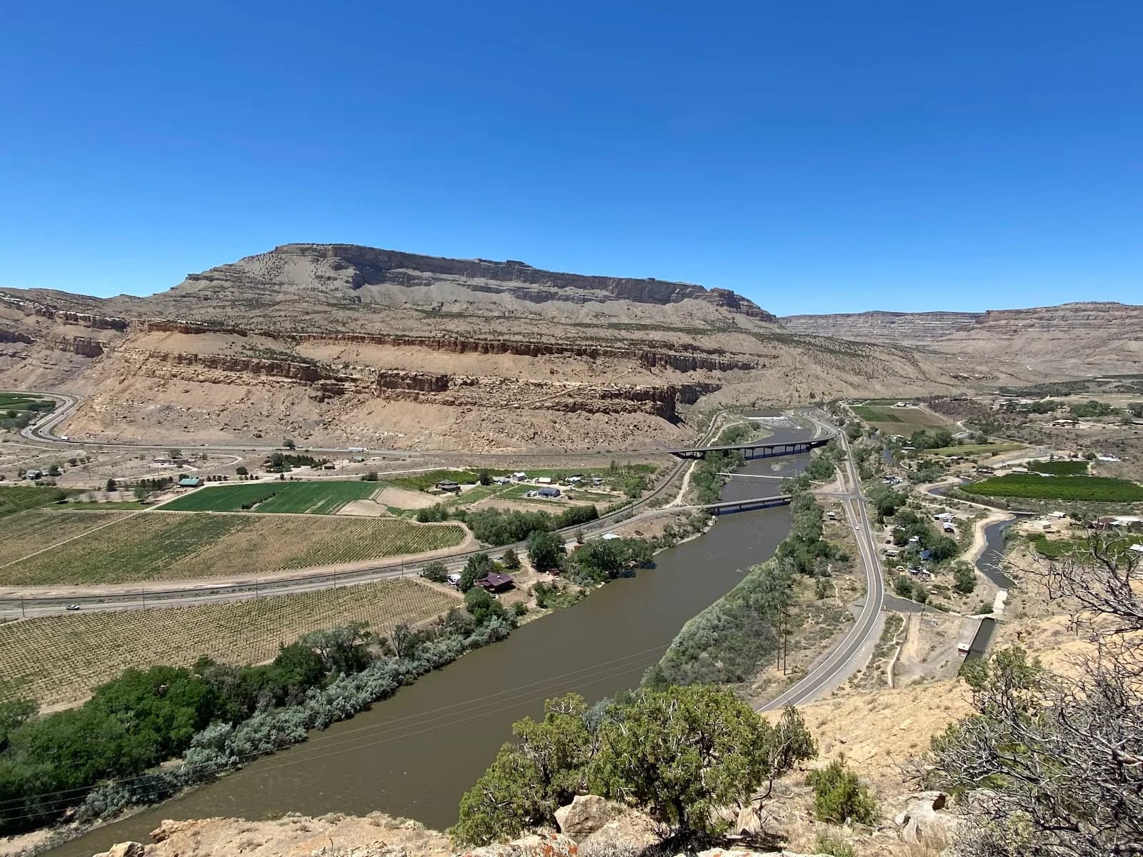
The Stagecoach Trailhead in Palisade serves as a moderate hiking access point for the historic Stagecoach Trail, a route that once connected Grand Junction and the Grand Valley. The trail climbs through Juniper and Pinyon trees along a dry wash toward the cliffs above Palisade. Hikers can expect a 2-hour outing covering approximately 1.3 miles to the 'Mud Flats' area, where rainwater collects and occasionally spills over the cliff edge. Parking is available at the Palisade Rim/Boat Launch trailhead across the river, as the original interstate pullout is blocked. The trail is pet-friendly and open from September through November. While the database lists restrooms, the search results do not confirm their current status at this specific Palisade location.
Trail profile
Gain
—
Avg grade
—
Steepest
—
High point
4,737 ft
Good to know
Parking at the trailhead
Restrooms available
Dogs allowed on leash
Waypoints
No waypoints mapped for this trail yet.
What people say
Reviews
No reviews yet
Been here? Help the next person out.
Within 30 miles