Fall Hiking · Palisade, CO
Palisade Rim Trail Head
Before you go
Live · nearest station Grand Junction, 13 miGood window today. Daylight to 7:06 pm.
Thunderstorms
Feels like 66°
Storm chance
31% tonight
Wind
15 mph SSE
UV index
0 low
Sun window
7:03 am to 7:06 pm
Distance
—
Elevation gain
—
High point
4,733ft
Season
Sep - Novin season
About
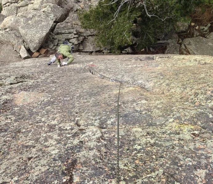
The Palisade Rim Trail is a moderate, 13-mile loop hike located in Palisade, Colorado, on the Western Slope. The trailhead sits at an elevation of 4,733 feet and offers parking directly adjacent to the route. Hikers typically complete the full loop in about two hours, though times can range from three to seven hours depending on pace. The path follows a rocky, well-marked singletrack that climbs approximately 800 feet via switchbacks to an upper rim section. This upper loop provides cliff-side views of the Grand Valley, orchards, and vineyards from roughly 1,000 feet above the valley floor. Key features along the route include visible petroglyphs near the upper loop junction and technical rock sections in the initial climb. The trail is open to hikers, mountain bikers, and runners. Pets are permitted on the trail. Restrooms are available at the trailhead, but no water source is present along the route. The best season for hiking is September through November, when foliage changes occur. Hikers should avoid the trail after rain, particularly the upper loop, due to slickrock and shale conditions. The parking area is located near a boat launch on Highway 6, just north of the trail start. Wildlife sightings often include lizards, rabbits, and golden eagles.
Trail profile
Gain
—
Avg grade
—
Steepest
—
High point
4,733 ft
Good to know
Parking at the trailhead
Restrooms available
Dogs allowed on leash
Waypoints
No waypoints mapped for this trail yet.
What people say
Reviews
No reviews yet
Been here? Help the next person out.
Within 30 miles