Hiking · Aspen, CO
Sunnyside Trail
Before you go
Live · nearest station Aspen, 0 miGood window today. Daylight to 7:02 pm.
Thunderstorms
Feels like 62°
Storm chance
32% afternoon
Wind
5 mph NNW
UV index
0.3 low
Sun window
6:56 am to 7:02 pm
Distance
5.4mi round trip
Elevation gain
1,120ft
High point
8,966ft
Season
Jan - Dec
About
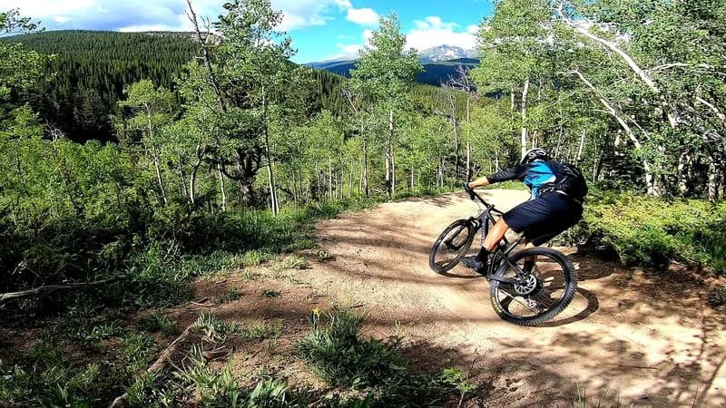
The Sunnyside Trail is a challenging 5.4-mile hike located in Aspen, Colorado, climbing from the Roaring Fork River up the side of Red Mountain. The route is known for its steep, steady zig-zag ascent, particularly the first 3 miles of switchbacks that gain approximately 2,000 feet through sagebrush and low brush. The trail offers sweeping views of the Aspen/Snowmass ski mountains, Independence Pass, and prominent peaks like Capitol Peak and Mt. Daly. The most strenuous section lies between the trailhead and a radio tower situated in an aspen grove. Beyond the tower, the trail traverses the mountain face through dense pine and aspen forests before connecting to Repeater Road. The trailhead is accessible off McLain Flats Road, with a primary parking lot for about ten vehicles. If full, overflow parking is available at Henry Stein Park, requiring a walk down the Rio Grande Trail to reconnect with the upper trail. The trail is south-facing, making it a reliable option for fall, winter, and spring hiking. It is open to hiking, mountain biking, and horseback riding, with dirt and gravel surfaces.
Trail profile
Gain
1,120 ft
Avg grade
4%
Steepest
10%
High point
8,966 ft
Good to know
Parking at the trailhead
Waypoints
Latest trail reportgood
Trail is in good condition. No significant obstacles or hazards reported.
Reported Mar 2, 2025Verified
What people say
Reviews
No reviews yet
Been here? Help the next person out.
Within 30 miles