Hiking · Telluride, CO
Sunshine to Navajo Route
Before you go
Live · nearest station Telluride, 0 miStorms build later today. Plan an early finish.
Thunderstorms
Feels like 55°
Storm chance
71% afternoon
Wind
5 mph NW
Distance
15.3mi round trip
Elevation gain
2,872ft
High point
12,221ft
Season
Jan - Dec
About
The Sunshine to Navajo Route is a 15.3-mile point-to-point hiking trail in Telluride, Colorado, connecting the Wilson Mesa trailhead to the Navajo Basin. The route gains significant elevation, reaching approximately 13,331 feet, and typically takes about 10 hours to complete. It is classified as difficult due to terrain that includes mixed forest, talus fields, and Class 2 to Class 3 scrambling sections, particularly near the ridge leading toward Wilson Peak. Hikers can view Lizard Head to the east and the Wilson group peaks to the west. The trail passes waterfalls, cascades, and Navajo Lake, which offers camping and fishing opportunities. Access requires driving Sunshine Mesa Road to its end; 4WD or AWD is recommended as the road can be gnarly. The route is well-suited for a shuttle or drop-off, as driving back to the start takes about an hour. Parking is available at the trailhead.
Trail profile
Gain
2,872 ft
Avg grade
4%
Steepest
9%
High point
12,221 ft
Good to know
Parking at the trailhead
Waypoints
Latest trail reportgood
Trail is in good condition. No significant obstacles or hazards reported.
Reported Mar 2, 2025Verified
What people say
Reviews
No reviews yet
Been here? Help the next person out.
Within 30 miles
Nearby spots
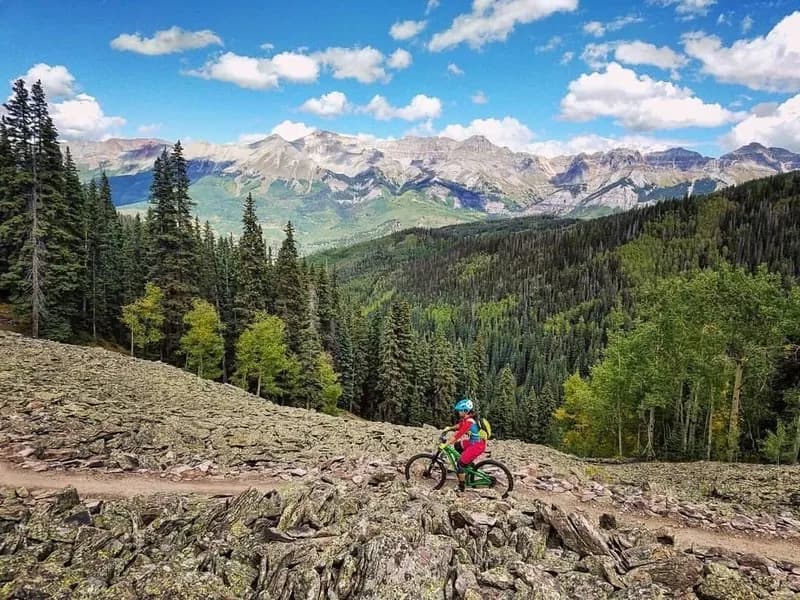
Yeti Tribe Gathering: Main Ride, Telluride Gondola
Galloping Goose #499