Rock Climbing · Grand Junction, CO
Taper (unknown)
Before you go
Live · nearest station Grand Junction, 2 miGood window today.
Mostly Cloudy
Feels like 63°
Storm chance
2% tonight
Wind
0 mph
Gunnison River near Grand Junction is running 1,180 cfs, water 64°.
Distance
—
Elevation gain
—
High point
4,603ft
Season
Jan - Dec
About
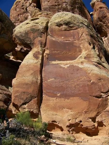
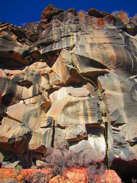
Taper (unknown) is a 50-foot traditional rock climbing route located in Grand Junction, Colorado, within the Colorado National Monument near Fruita Canyon. The climb is rated 5.10b/c in the Yosemite Decimal System and features a wide hand section that transitions to pinched fingers. The route is situated on a left-facing wall next to the curving Offwidth, approximately 100 yards before Special Verdict. Parking is available on site, and pets are permitted. The area offers year-round access with an average outing duration of four hours.
Trail profile
Gain
—
Avg grade
—
Steepest
—
High point
4,603 ft
Good to know
Parking at the trailhead
Dogs allowed on leash
Waypoints
Latest trail reportgood
Spring climbing conditions. Route may be wet after rainfall. Check weather forecast before climbing.
Reported Mar 3, 2025Verified
What people say
Reviews
No reviews yet
Been here? Help the next person out.
Within 30 miles