Hiking · Telluride, CO
Telluride Trail
Before you go
Live · nearest station Telluride, 3 miStorms build later today. Plan an early finish.
Thunderstorms
Feels like 54°
Trailhead temp
48° est. at 10,542 ft
Storm chance
58% tonight
Wind
5 mph NE
Distance
2.4mi round trip
Elevation gain
1,328ft
High point
12,457ft
Season
Jan - Dec
About
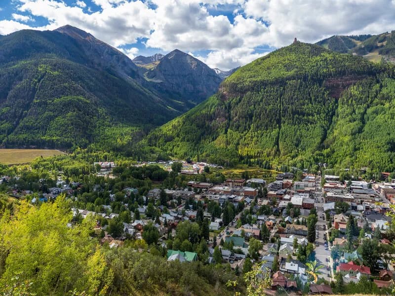
The Telluride Trail is a 2.4-mile one-way route connecting the Town of Telluride to Station Sophia Gondola. It follows a ski service road, starting at an elevation of 10,542 feet and descending approximately 1,800 feet to the town. The moderate difficulty reflects steady inclines and uneven terrain, suitable for hikers of varying skill levels. The trail is accessible year-round, though conditions vary with the seasons. Parking is available at the trailhead near the gondola station. The route allows for vehicle encounters along the way and connects to Camel's Garden Trail and lower Bear Creek Trail in the town area. Hikers can complete the route in about one hour, making it a practical option for quick access between town and mountain stations.
Trail profile
Gain
1,328 ft
Avg grade
10%
Steepest
10%
High point
12,457 ft
Good to know
Parking at the trailhead
Waypoints
Latest trail reportgood
Trail is in good condition. No significant obstacles or hazards reported.
Reported Mar 2, 2025Verified
What people say
Reviews
No reviews yet
Been here? Help the next person out.
Within 30 miles