Hiking · Gunnison, CO
Teocalli Ridge Loop
Before you go
Live · nearest station Gunnison, 2 miGood window today. Daylight to 6:23 pm.
Thunderstorms
Feels like 58°
Storm chance
25% tonight
Wind
5 mph SW
UV index
0.1 low
Sun window
7:20 am to 6:23 pm
Distance
11.5mi round trip
Elevation gain
919ft
High point
8,839ft
Season
Jan - Dec
About
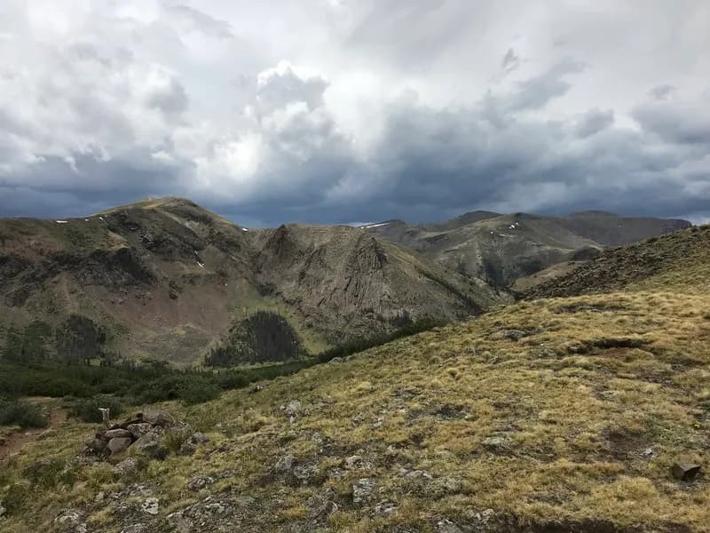
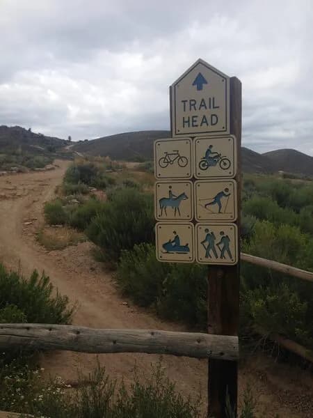
The Teocalli Ridge Loop is a 11.5-mile (approximately 18.2 km) circular hiking trail located in the Gunnison National Forest near Gunnison and Crested Butte, Colorado. The trail is graded as difficult and reaches a high point of 11,259 to 11,290 feet. It offers an elevation gain of roughly 1,822 feet, starting from a base around 9,468 feet. The route typically takes between 5 hours and 8 hours to complete, depending on the source data. The trail is open year-round, though April through October are considered the best times for hiking due to variable winter snow and ice conditions. Parking is available at the trailhead, and camping options include dispersed sites, huts, or in-town accommodations within the forest. No specific permits or entrance fees are required for this trail. The route allows hiking, dogs (on a leash), bikes, horses, and motorcycles. Birding is noted as a popular activity on the trail.
Trail profile
Gain
919 ft
Avg grade
2%
Steepest
4%
High point
8,839 ft
Good to know
Parking at the trailhead
Waypoints
Latest trail reportgood
Trail is in good condition. No significant obstacles or hazards reported.
Reported Mar 2, 2025Verified
What people say
Reviews
No reviews yet
Been here? Help the next person out.
Within 30 miles