Hiking · Gunnison, CO
CDT: Spring Creek Pass to San Luis Pass (CO Sec. 12)
Before you go
Live · nearest station Gunnison, 2 miStorms build later today. Plan an early finish.
Thunderstorms
Feels like 55°
Storm chance
57% tonight
Wind
5 mph ENE
Distance
14.8mi round trip
Elevation gain
889ft
High point
8,747ft
Season
Jan - Dec
About
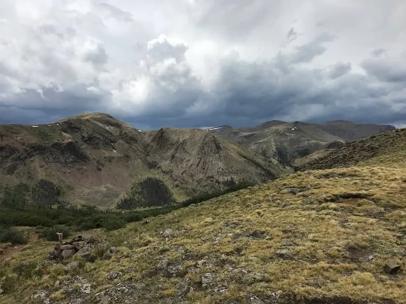
This is a 14.8-mile high-altitude hiking section of the Continental Divide Trail in the Rio Grande National Forest, running from Spring Creek Pass to San Luis Pass. The trail begins near Lake City, Colorado, starting with a steep ascent up Snow Mesa, a large, open tundra expanse. The route is classified as difficult and typically takes about 10 hours to complete. Elevation reaches a maximum of 12,858 feet. Hikers traverse undulating terrain, contouring around mountains before descending to Middle Mineral Creek, which features beaver ponds and camping opportunities. The segment concludes with a final climb and descent to San Luis Pass. The area is part of the La Garita Wilderness. Camping is permitted, including dispersed camping, without required permits. Parking is available at the trailhead. Weather changes quickly on the exposed mesa, and snow or ice is possible in winter months.
Trail profile
Gain
889 ft
Avg grade
1%
Steepest
3%
High point
8,747 ft
Good to know
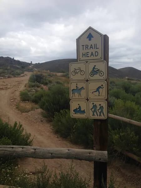
Parking at the trailhead
Waypoints
Latest trail reportgood
Trail is in good condition. No significant obstacles or hazards reported.
Reported Mar 2, 2025Verified
What people say
Reviews
No reviews yet
Been here? Help the next person out.
Within 30 miles