Hiking · Gunnison, CO
The Scarp Ridge Traverse
Before you go
Live · nearest station Gunnison, 0 miStorms build later today. Plan an early finish.
Thunderstorms
Feels like 55°
Storm chance
57% tonight
Wind
5 mph ENE
Distance
10.8mi round trip
Elevation gain
807ft
High point
8,510ft
Season
Jan - Dec
About
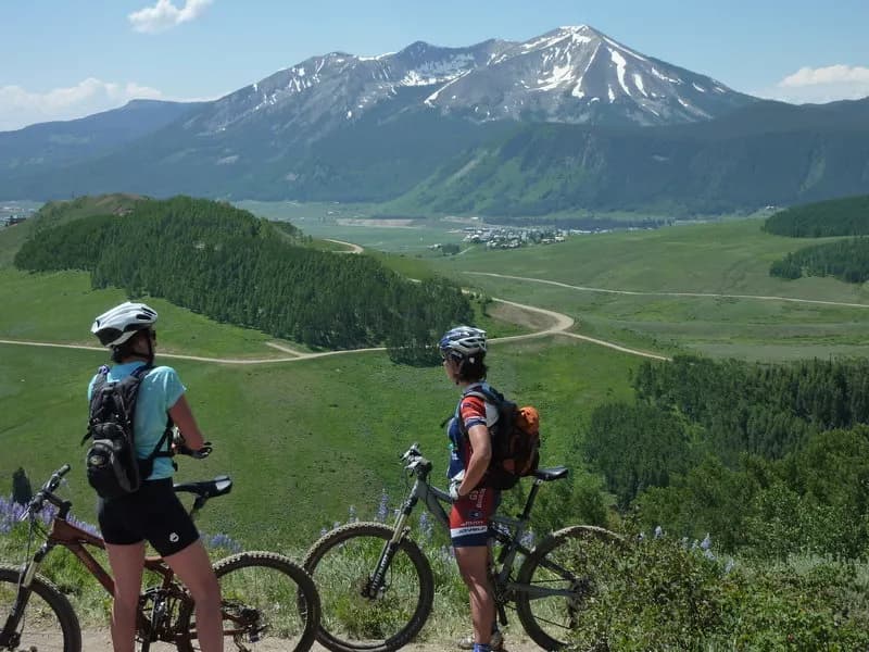
The Scarp Ridge Traverse is a 10.8-mile difficult hike located near Crested Butte and Gunnison on the Western Slope of Colorado. The route climbs to 12,274 feet and typically takes about seven hours to complete. Hikers begin at Lake Irwin, accessing the trail via County Road 826 or Forest Roads 419 and 421. The trailhead offers parking, though vehicles may need to use pull-off spaces or continue past the chain gate near the old Lake Irwin Lodge. High-clearance vehicles are recommended, but two-wheel drive cars can navigate the gravel road if driven carefully. The trail is primitive and often quiet, traversing along Scarp Ridge with views of the Ruby Range and Paradise Divide. Summer brings wildflowers, while fall offers aspen displays. The route is accessible year-round, though conditions vary with the seasons. There are no reliable drinking water sources along the ridge due to acidic, metal-laden water in Redwell basin. Hikers should be prepared for steep inclines and rugged terrain.
Trail profile
Gain
807 ft
Avg grade
1%
Steepest
4%
High point
8,510 ft
Good to know
Parking at the trailhead
Waypoints
Latest trail reportgood
Trail is in good condition. No significant obstacles or hazards reported.
Reported Mar 2, 2025Verified
What people say
Reviews
No reviews yet
Been here? Help the next person out.
Within 30 miles