Hiking · Montrose, CO
Toldja Loop
Before you go
Live · nearest station Montrose, 0 miGood window today.
Chance of Rain
Feels like 62°
Storm chance
30% afternoon
Wind
5 mph NNW
Distance
3.9mi round trip
Elevation gain
448ft
High point
6,235ft
Season
Jan - Dec
About
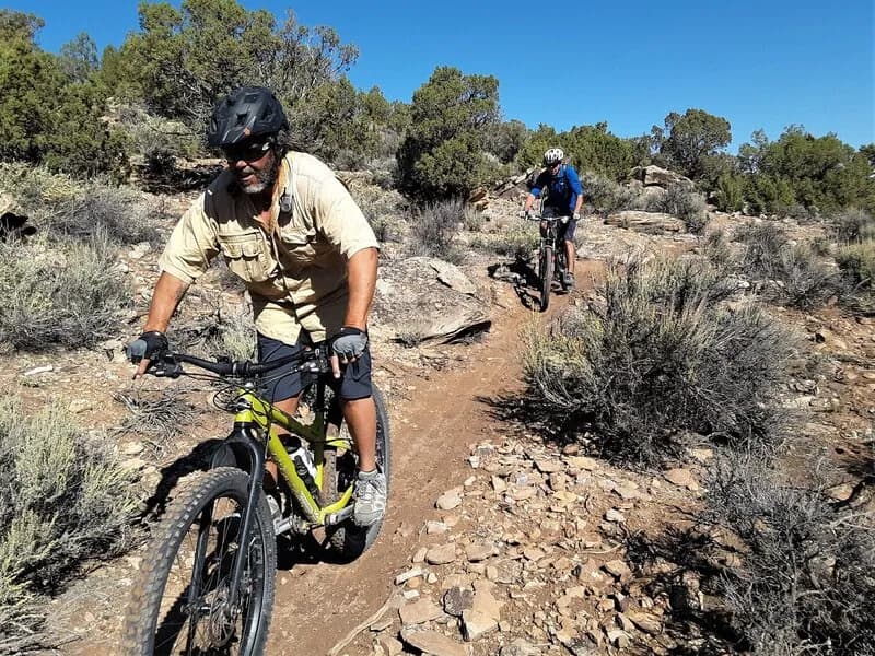
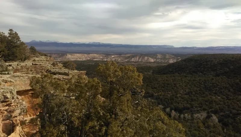
The Toldja Loop is a 3.9-mile hiking and mountain biking trail near Montrose, Colorado, situated on the Western Slope. The route sits at an elevation of approximately 7,217 feet and typically takes about two hours to complete. The trail offers moderate difficulty for hikers, though it is classified as black diamond for mountain biking due to its rougher terrain. Access begins at the Fenceline marker, requiring a 3-mile, 700-foot vertical climb up Cowpoke Gulch Road to reach the upper singletrack. From there, the trail descends steeply into Dry Creek, offering views of the West Fork confluence. The surface is dirt and singletrack, with sections that can be steep and loose. Motorcycles are permitted on the trail year-round, so hikers should remain alert for off-road vehicles. Parking is available at the trailhead. The terrain is described as less buffed than nearby loops, providing a more rugged experience with some hike-a-bike sections. The trail is managed by the BLM Uncompahgre Field Office and allows dogs, horses, and bikes.
Trail profile
Gain
448 ft
Avg grade
2%
Steepest
6%
High point
6,235 ft
Good to know
Parking at the trailhead
Waypoints
Latest trail reportgood
Trail is in good condition. No significant obstacles or hazards reported.
Reported Mar 2, 2025Verified
What people say
Reviews
No reviews yet
Been here? Help the next person out.
Within 30 miles