Hiking · Aspen, CO
Triangle Peak Spur
Before you go
Live · nearest station Aspen, 0 miGood window today.
Chance of Rain
Feels like 54°
Storm chance
45% tonight
Wind
5 mph SSE
Distance
—
Elevation gain
—
High point
7,890ft
Season
Jan - Dec
About
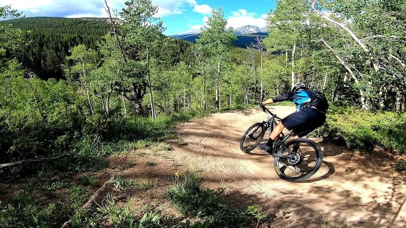
Triangle Peak Spur is a difficult hiking route located near Aspen, Colorado, in the White River National Forest. The trail is classified as challenging and requires significant physical exertion. It is an out-and-back hike that generally takes about three and a half hours to complete. The route climbs from an elevation of approximately 8,651 feet to 9,113 feet, covering a distance of roughly 1.8 to 5 miles depending on the specific metric used by different sources. The trail surface consists of dirt and involves switchbacks, exposed meadowlands, and patches of pine trees. Hikers share the path with mountain bikers, horses, and dogs. The trail allows off-highway vehicles up to a certain width during the season, which runs from late June through November. Conditions vary by season; hikers should prepare for snow and ice in winter and potential thunderstorms in warmer months. Parking is available at the trailhead off Upper River Road. The best times to visit are typically May through September. The trail offers alpine views and is considered scenic, though it is not the highest peak in the area.
Trail profile
Gain
—
Avg grade
—
Steepest
—
High point
7,890 ft
Good to know
Parking at the trailhead
Waypoints
Latest trail reportgood
Spring conditions with some muddy sections. Trail is generally in good shape.
Reported Mar 2, 2025Verified
What people say
Reviews
No reviews yet
Been here? Help the next person out.
Within 30 miles