Hiking · Silverton, CO
Trinity and Silex Lake Route
Before you go
Live · nearest station Telluride, 12 miStorms build later today. Plan an early finish.
Chance of Rain
Feels like 45°
Storm chance
50% tonight
Wind
5 mph ESE
Distance
34.4mi round trip
Elevation gain
2,677ft
High point
11,929ft
Season
Jan - Dec
About
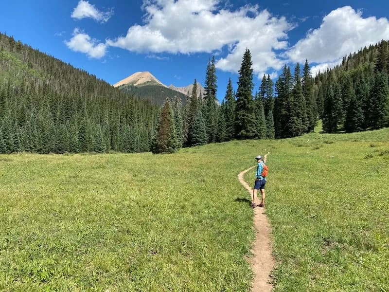
The Trinity and Silex Lake Route is a difficult, multi-day hiking loop near Silverton, Colorado, traversing rugged and remote wilderness where hikers may go days without seeing others. The route spans 34.4 miles with an elevation gain reaching 12,859 feet, typically requiring about 23 hours of hiking time. Parking is available at the trailhead. The journey begins with a climb via the Cunningham Gulch Trail Connector, joining the Continental Divide Trail (CDT) before crossing Hunchback Pass at 12,480 feet. The trail descends through Vallecito Creek and Stormy Gulch, noted for meadows that can have high fly populations. Beyond the maintained trail network, the route crosses Vallecito and Trinity Creeks, with creek crossings described as easy in late July. The trail leads to Trinity Lake, offering campsites along the shore and nearby ponds. From Trinity Lake, the route connects to Silex Lake. The area features numerous nearby peaks suitable for day excursions from a base camp at Trinity Lake.
Trail profile
Gain
2,677 ft
Avg grade
1%
Steepest
4%
High point
11,929 ft
Good to know
Parking at the trailhead
Waypoints
Latest trail reportgood
Trail is in good condition. No significant obstacles or hazards reported.
Reported Mar 2, 2025Verified
What people say
Reviews
No reviews yet
Been here? Help the next person out.
Within 30 miles