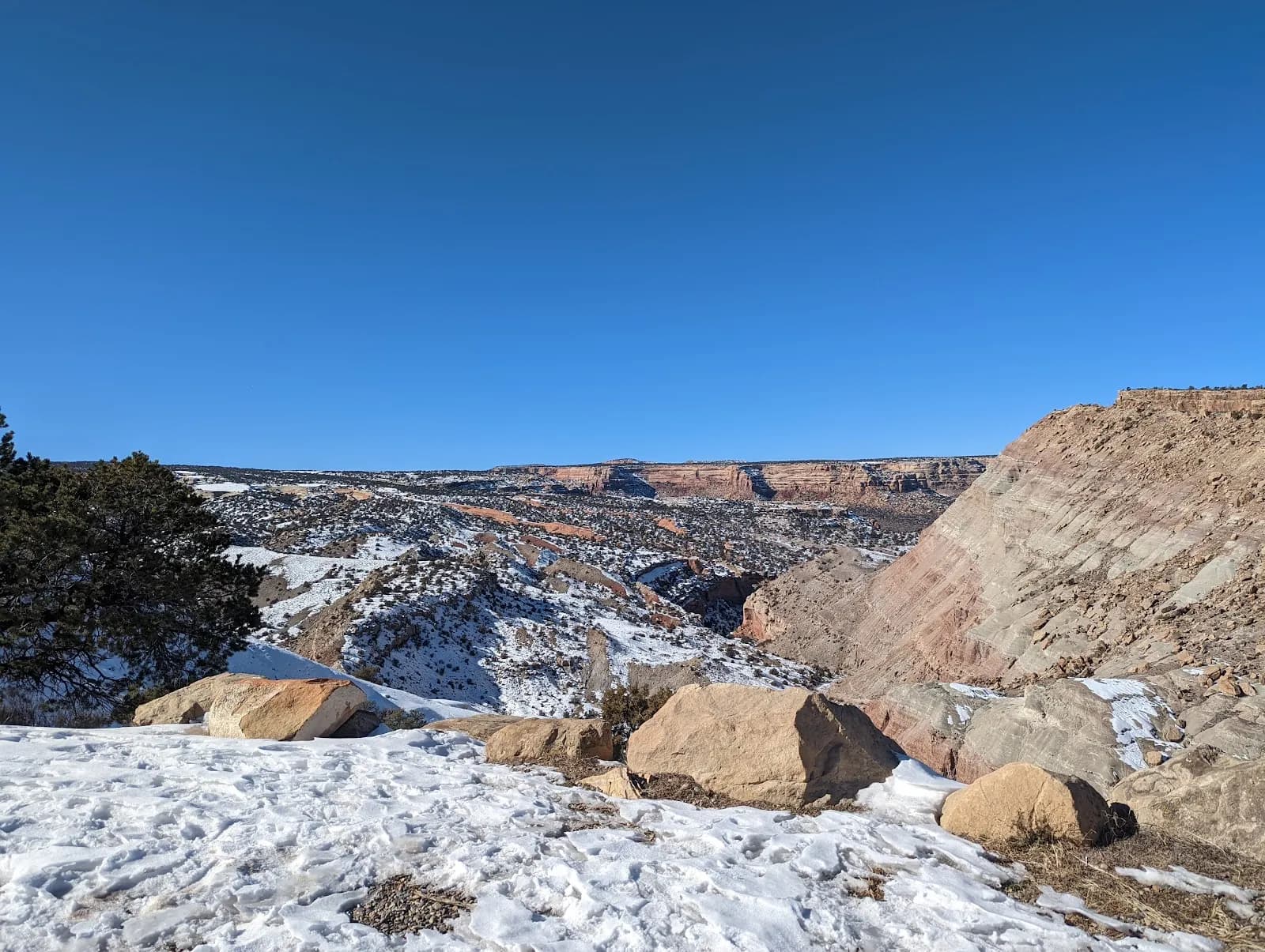
Rock Climbing · Grand Junction, CO
Unknown
Before you go
Live · nearest station Grand Junction, 4 miGood window today. Daylight to 5:07 pm.
Clear
Feels like 36°
Wind
5 mph ESE
UV index
0 low
Sun window
6:48 am to 5:07 pm
Gunnison River near Grand Junction is running 1,690 cfs and falling, water 48°.
Distance
—
Elevation gain
7ft
High point
5,292ft
Season
Jan - Dec
About
Rock climbing near Grand Junction, Colorado, primarily focuses on two distinct areas: Colorado National Monument and Unaweep Canyon. Colorado National Monument features sandstone towers, crack systems, and canyon walls in a desert landscape. Unaweep Canyon offers granite trad climbing. The region serves as a gateway for these destinations. Climbing routes range from beginner to experienced levels. Access is available year-round. Parking is available on site. Pets are allowed. The elevation is listed as 5,285 feet in the database, though one source cites 7,480 feet. Difficulty is noted as difficult for specific routes. A specific route named Bighorn is described as a 5.9 YDS trad climb, 45 feet long, located near Devil's Kitchen. It involves climbing a crack that widens. The area is subject to fire evacuations, such as the CriticalGold Mountain Fire.
Trail profile
Gain
7 ft
Avg grade
—
Steepest
—
High point
5,292 ft
Good to know
Parking at the trailhead
Dogs allowed on leash
Waypoints
Latest trail reportgood
Spring climbing conditions. Route may be wet after rainfall. Check weather forecast before climbing.
Reported Mar 3, 2025Verified
What people say
Reviews
No reviews yet
Been here? Help the next person out.
Within 30 miles